We took a trip out to Utah to do the chute of Muddy Creek slot canyon and some other things in the San Rafael Swell. Here is the full gallery. We wanted to do the hike in the fall when the water levels are low and planned to go when the weather was nice. There was a big rain late September, so we were waiting till the water went back down. We waited a bit too long and hurricane Rachel started heading north with big rain predictions for Utah. So we left right away and did the Muddy Creek hike first.
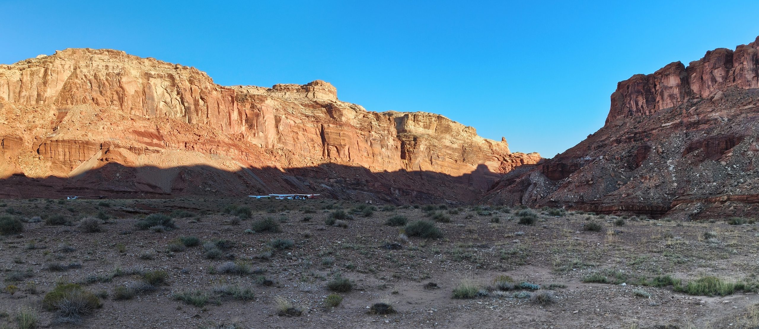
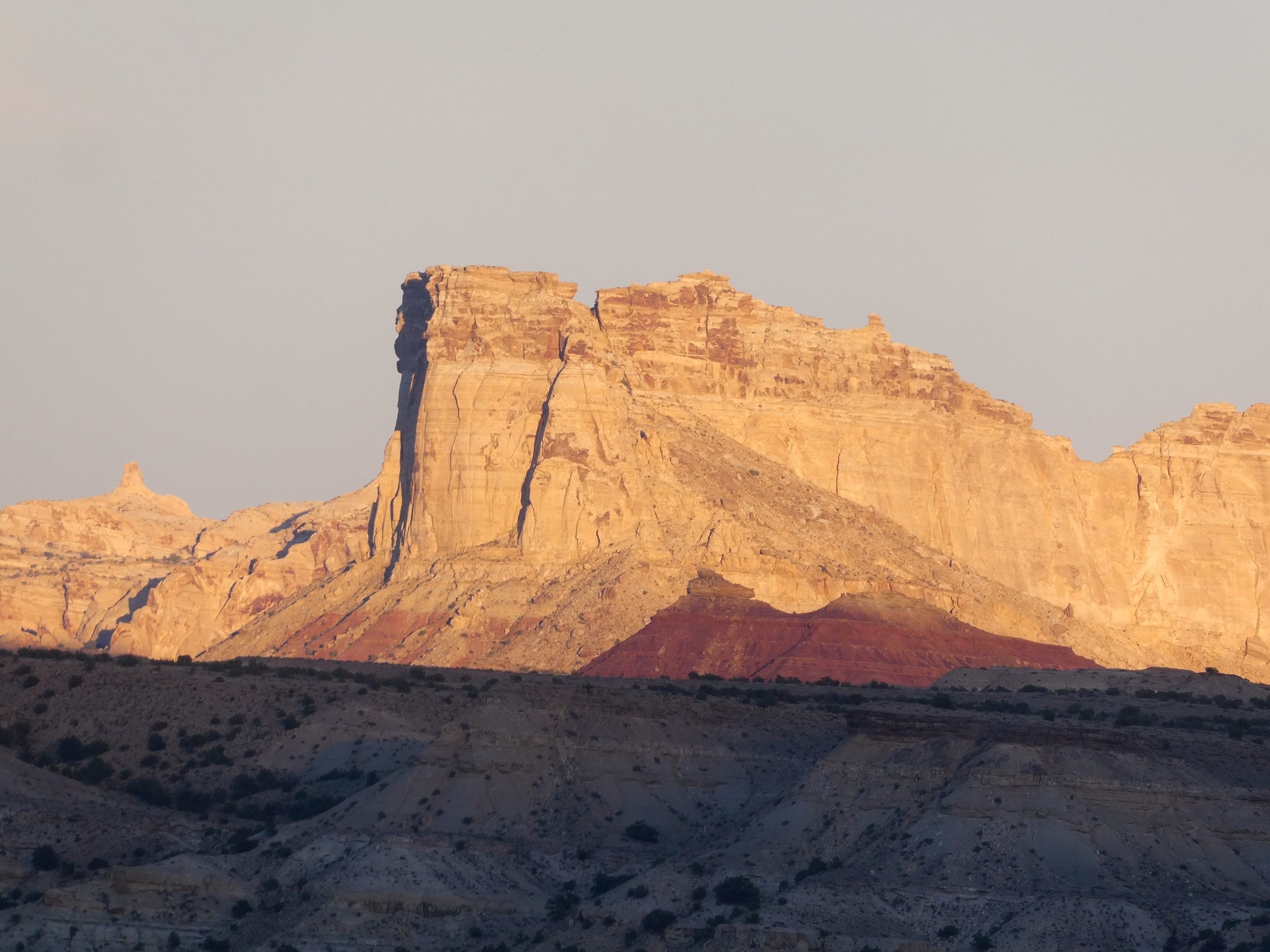
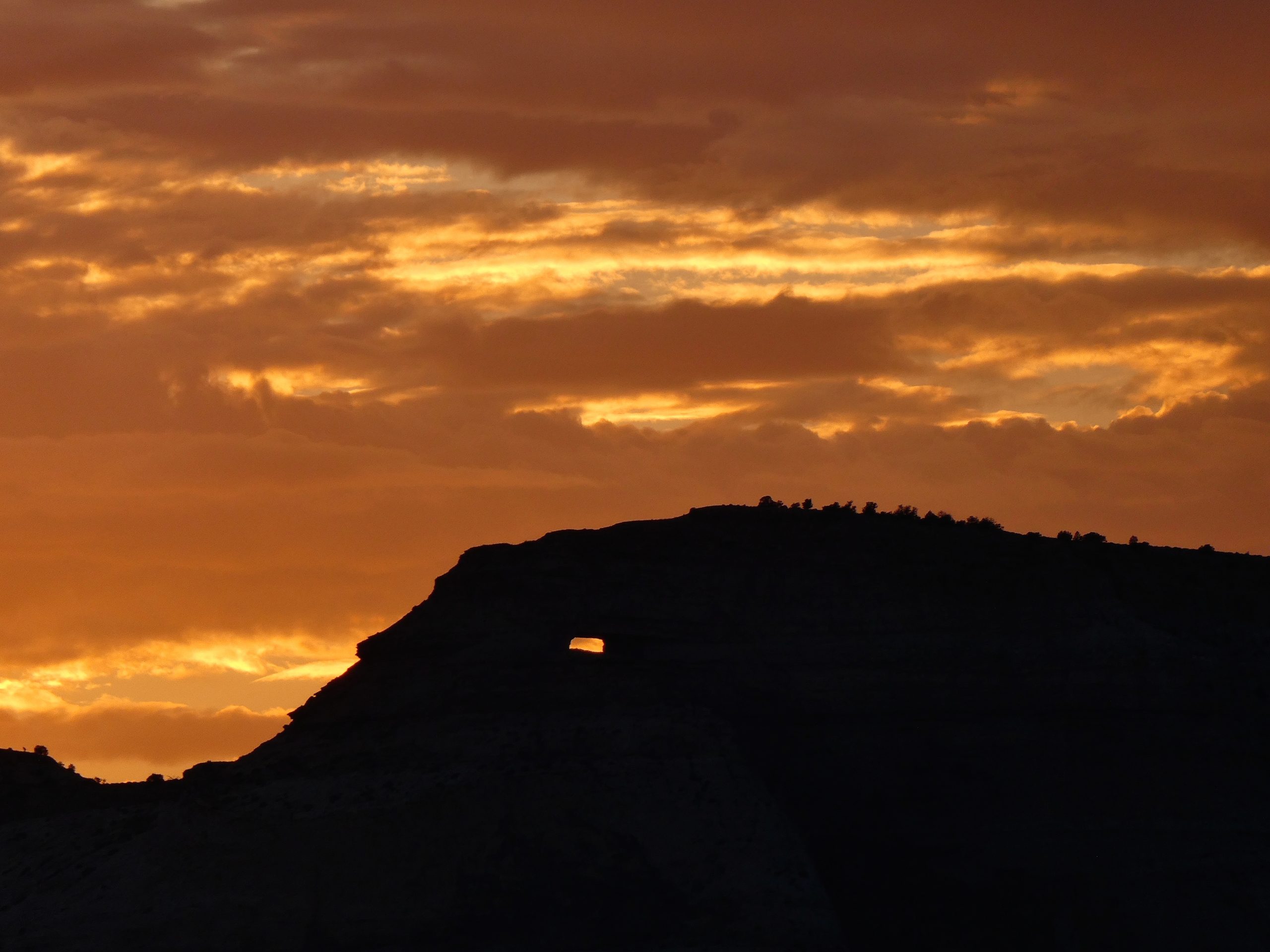
The chute of Muddy creek is a 16 mile hike with about 10 miles of wet slot canyon. It is a one way hike with a 15 mile drive/bike between the two ends. We wanted to hike from north to south (with the flow of the water), so we drove to the south end and dropped off our bikes and tent, then drove back to the north end. At the south end is the Hidden Splendor airstrip, and there were about four planes parked and flying around the canyon when we arrived. The road was in pretty good shape, but it was still barely passable in the Prius. We had to stop a little more than a mile from each end and walk the rest of the way. The north end of the hike is Tomsich Butte which was very pretty at sunset. We car camped and got up early for the hike.
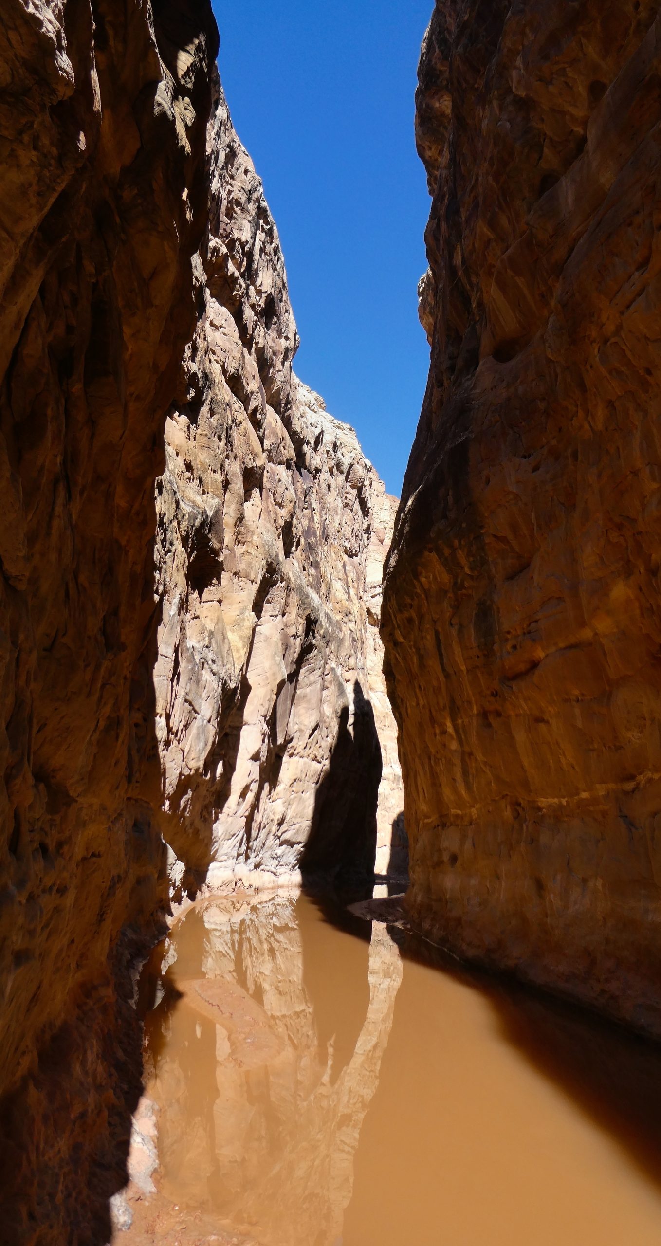
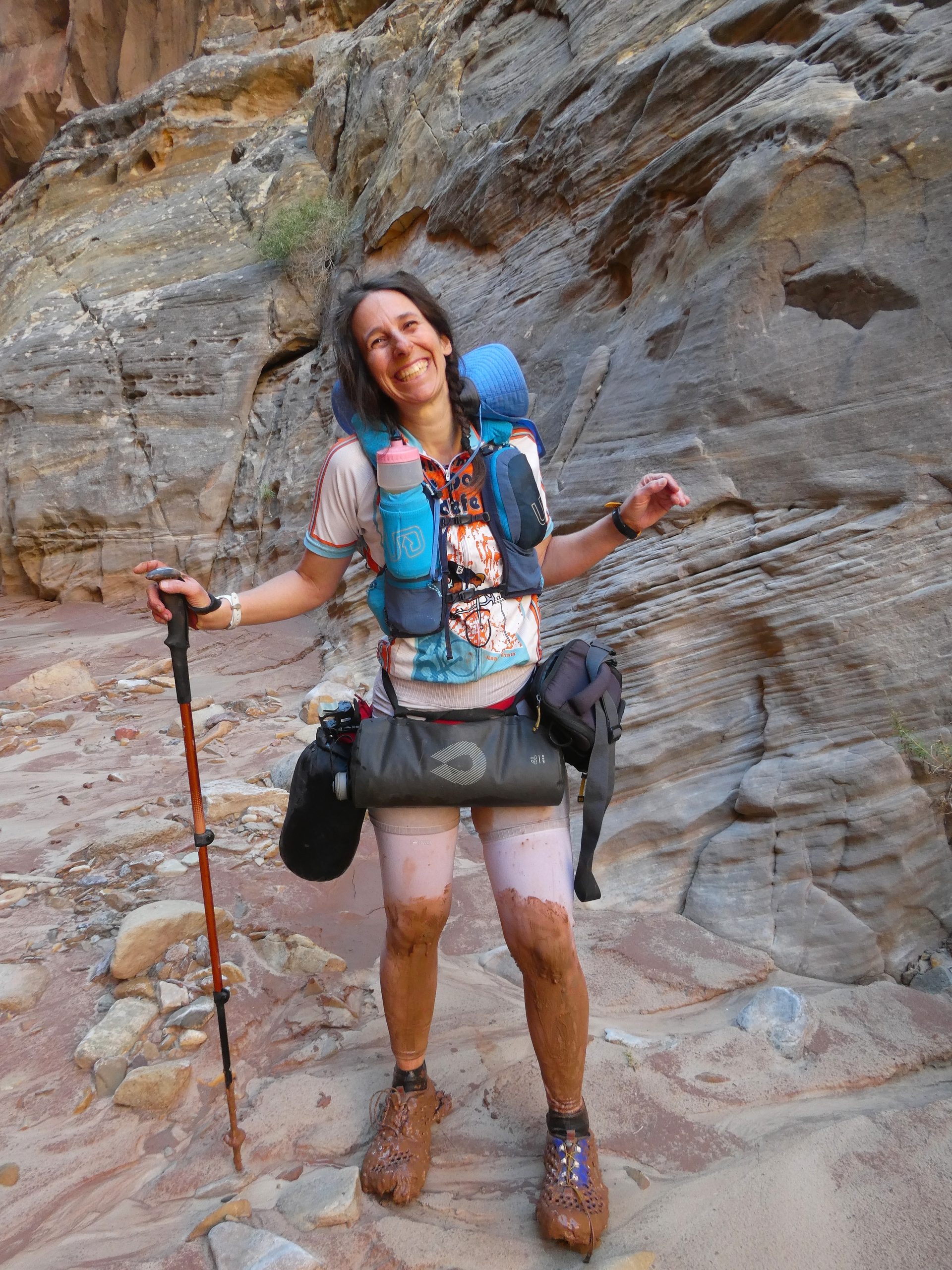
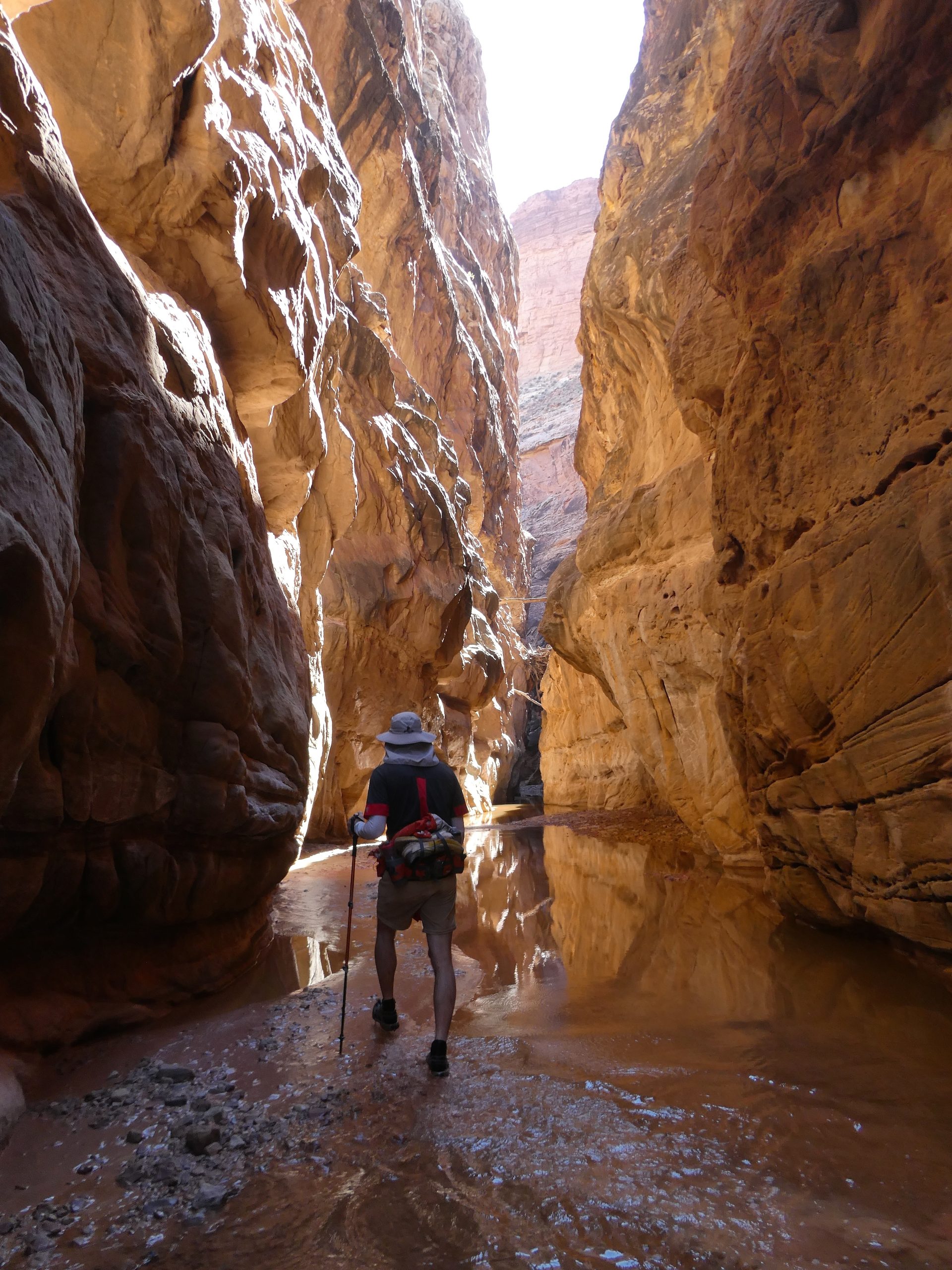
The day of the hike we had great weather. The water in the creek was warmer than I’d expected it to be. We had several stream crossings before we switched to water shoes and committed to being wet. We were using neopreen socks and water shoes. The socks worked well, though we might not have needed them with the warmish water. The water shoes did not work very well. They were basically a heavy duty sandal and they let rocks in but not out. They also didn’t secure well enough to our feet for the thick, sticky mud that tried to suck the shoes off our feet. Muddy Creek lives up to its name with mud made of very fine clay that could be deep at times. At its highest the water came up to our waist, but it varied a lot. What was pretty constant was the mud.
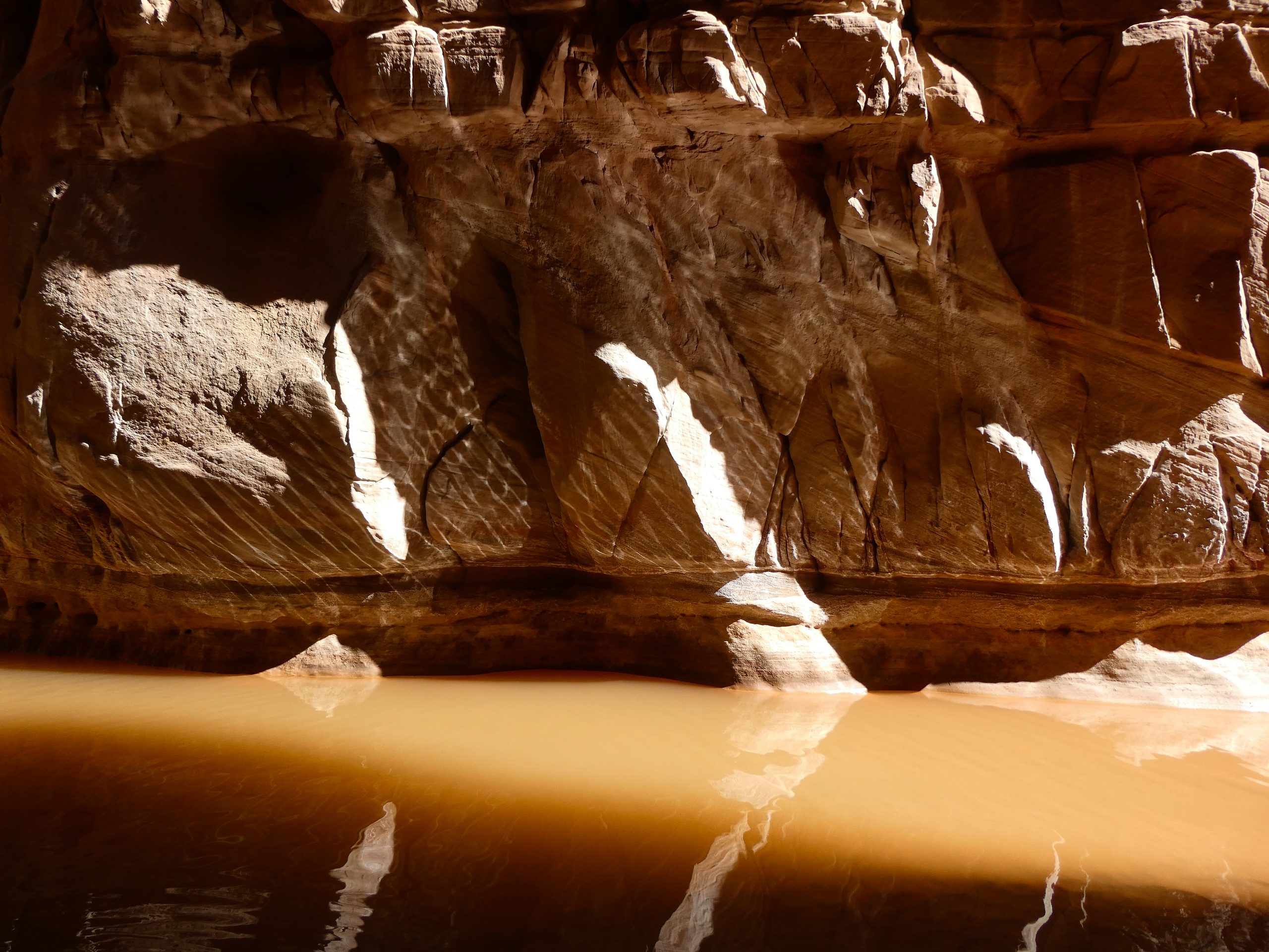
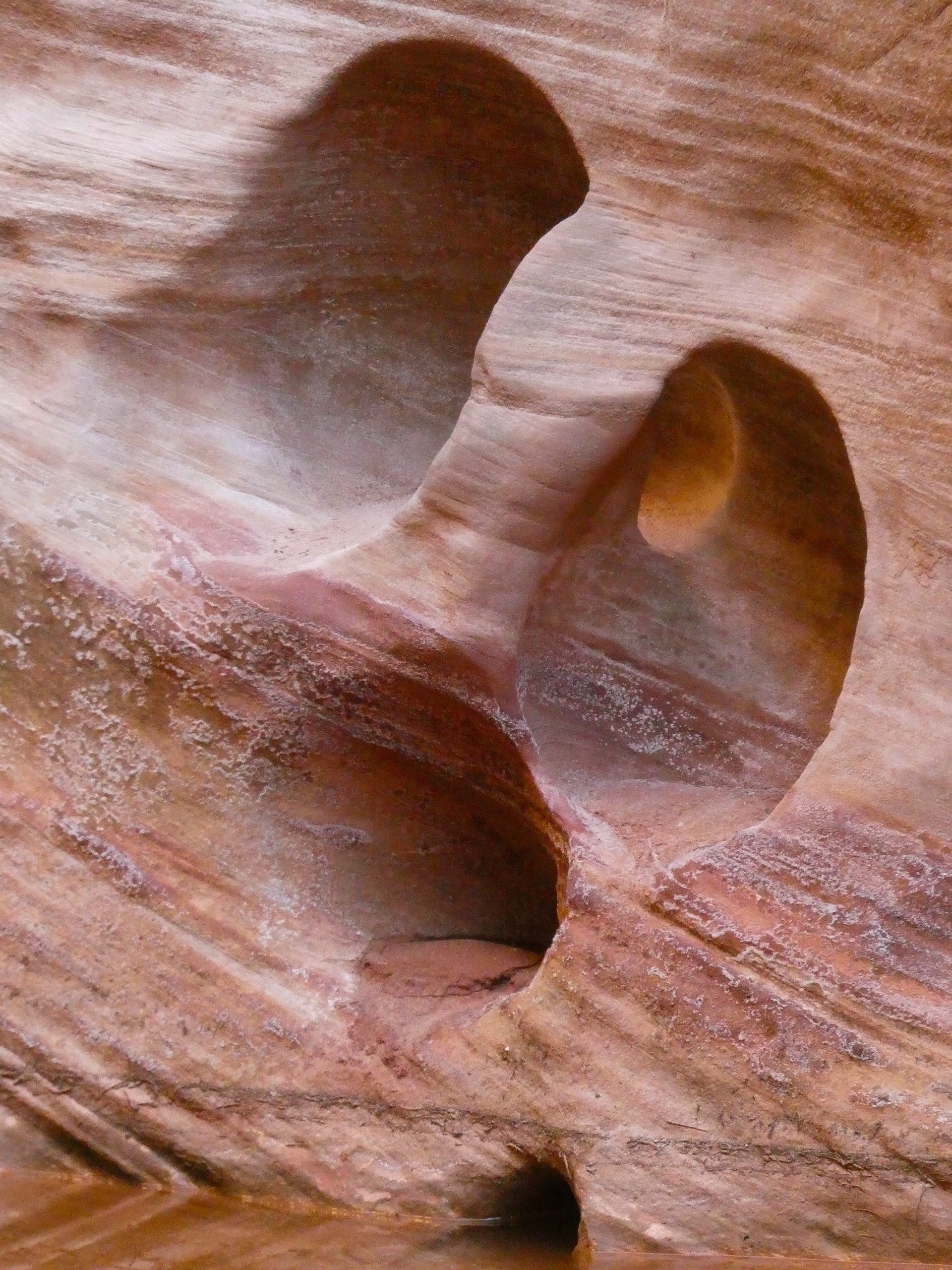
The scenery was great. We got to spend a lot of time in the slot canyon which was deep and narrow in places. The water made pretty patterns of light on the canyon walls and there were lots of formations in the sandstone. All in all it was a great hike and easier than expected for being 16 miles with lots of mud. We got back to the bikes and tent while there was still good light.
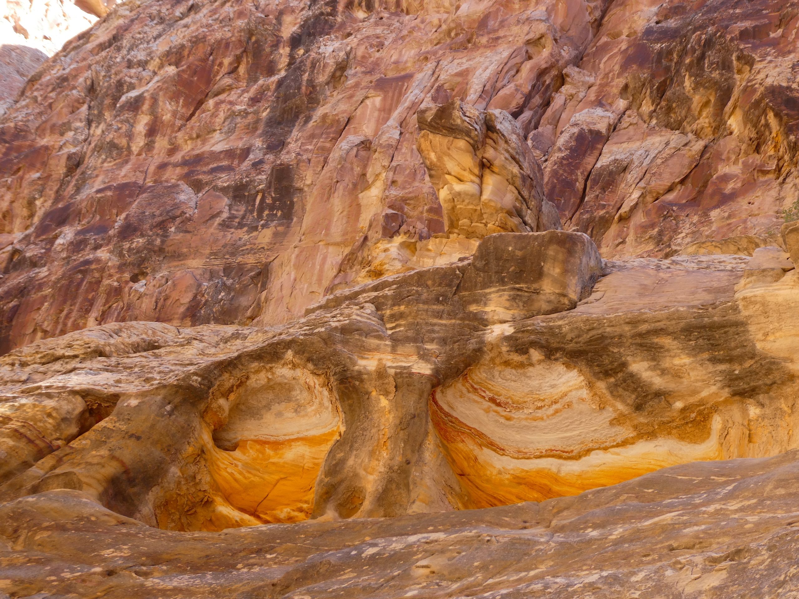
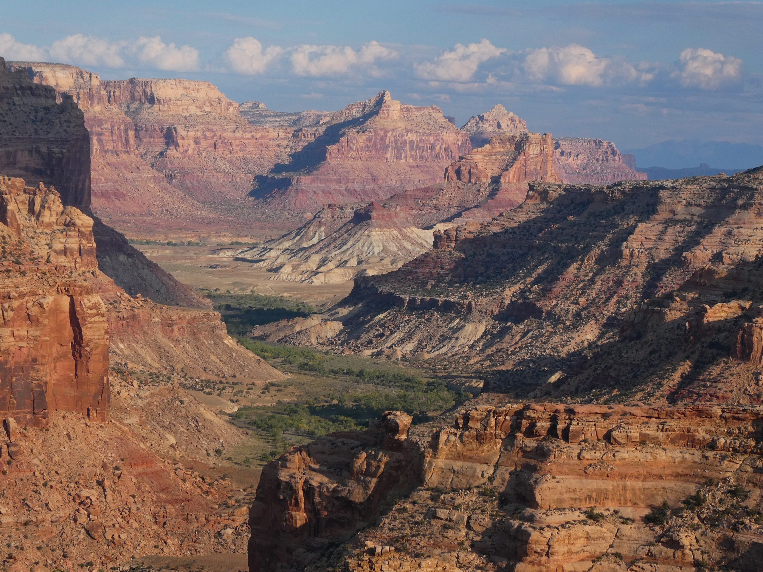
The next morning it rained on us briefly while we were packing up, but the rest of the day was fine. The bike ride back to the car was a little boring and a bit slow. The road that was tough for the Prius was pretty smooth on the bikes, but there was a lot of uphill. We got back to the car and went north back across I-70 to the Little Grand Canyon area. It is well named and looks a lot like a smaller Grand Canyon. We did a mountain bike ride along the rim that was really good. Not very technical and pretty flat with great scenery.
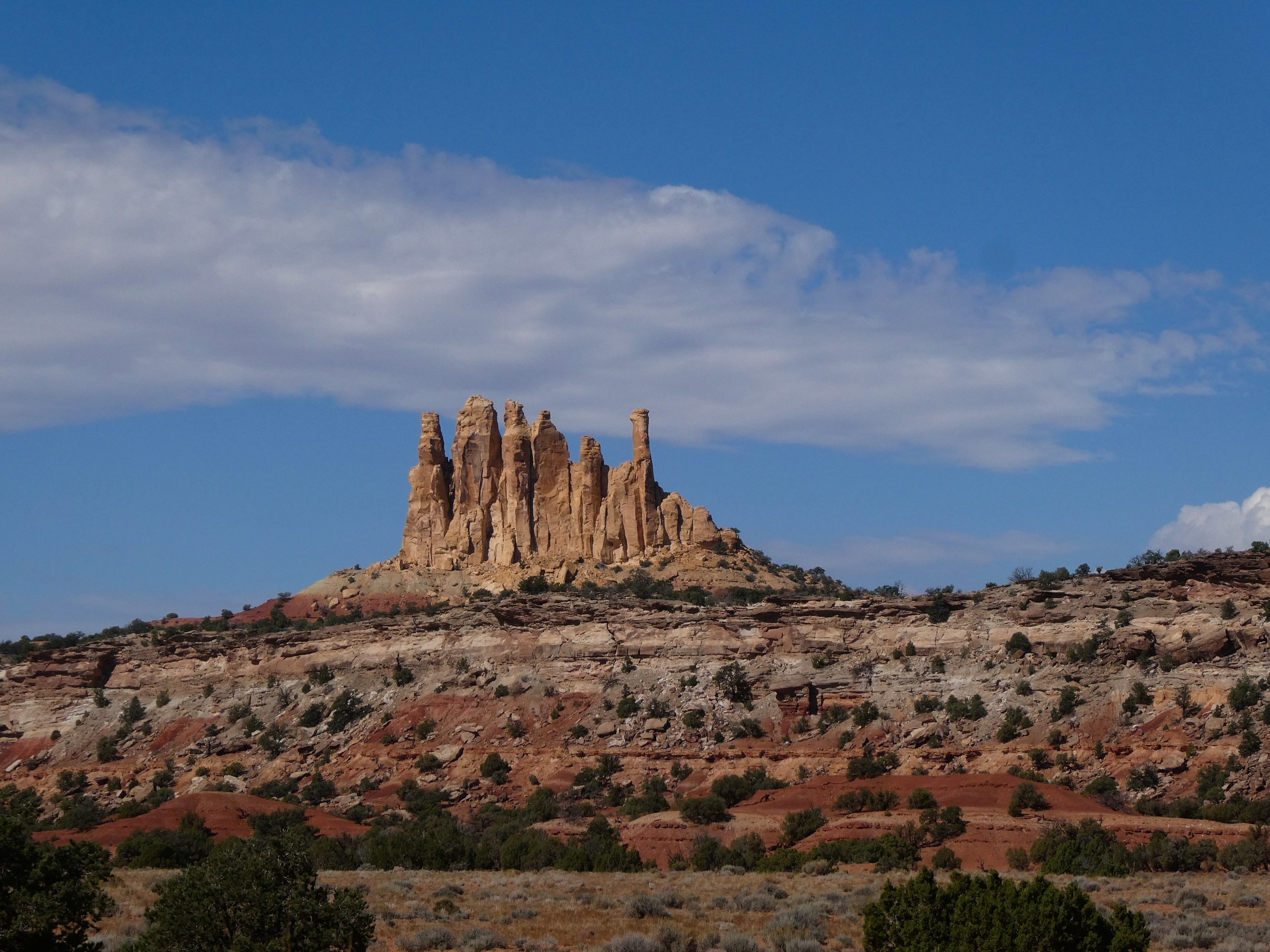
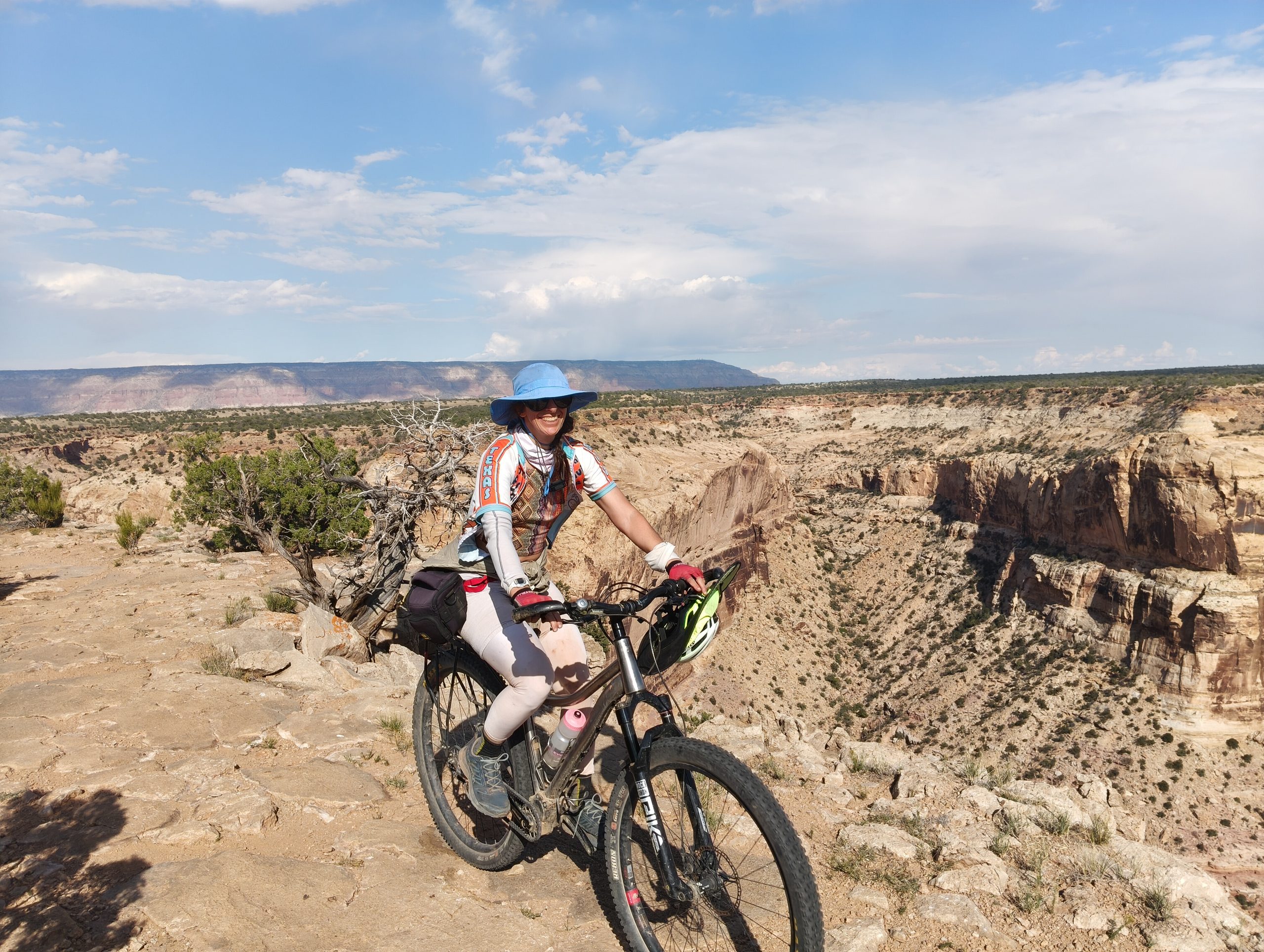
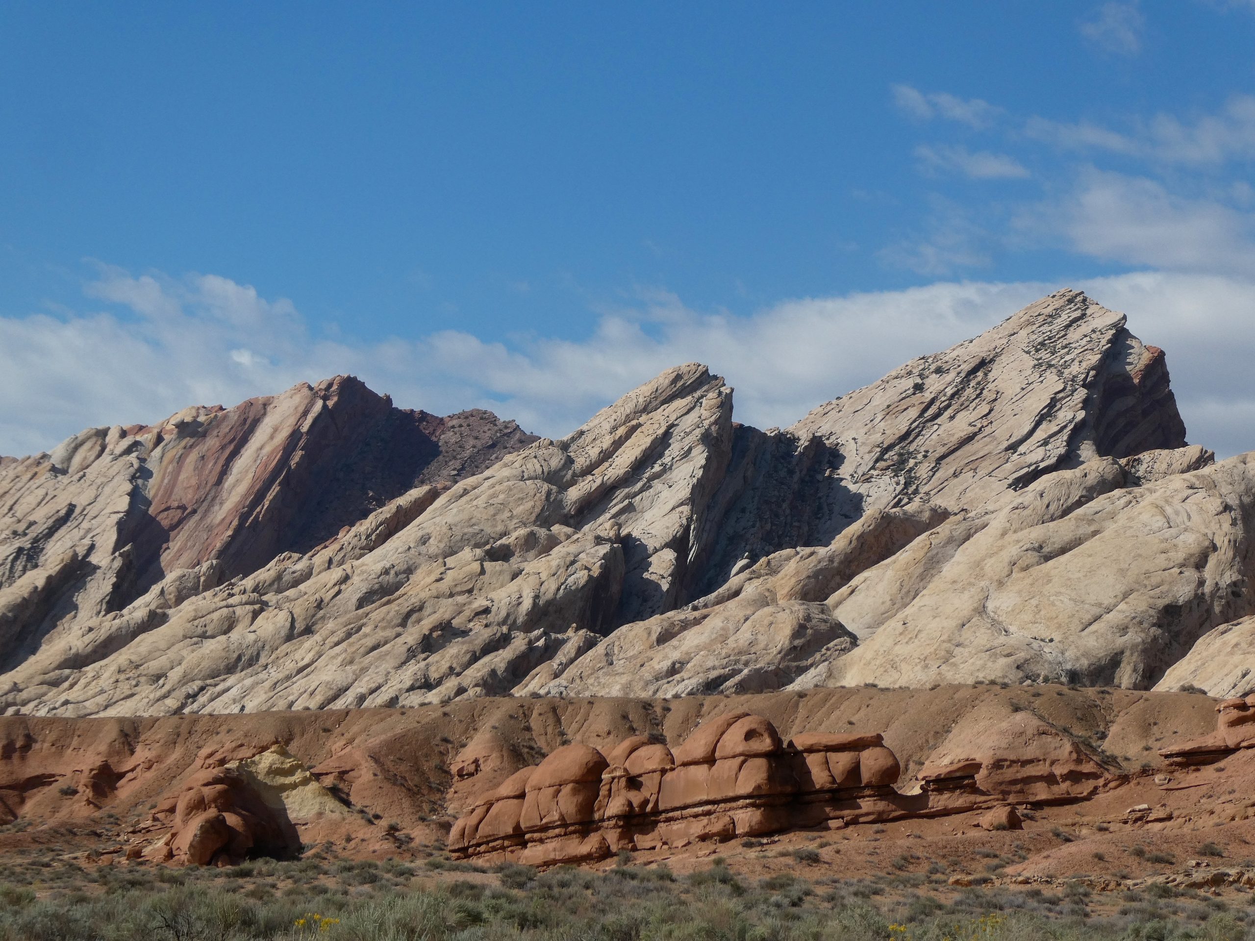
The next day was supposed to be a hike along the San Rafael river at the bottom of the canyon, but Kira was concerned about the forecasted rain and being in a bad situation if the water were to rise. So instead we did a bike ride right along the base of the swell in an area called “the squeeze”. Its the edge of the uplifted region and the rock wall rises out of the desert at an angle. Rain was coming for sure the next day, so we drove half-way back to Denver and camped near Dotsero.
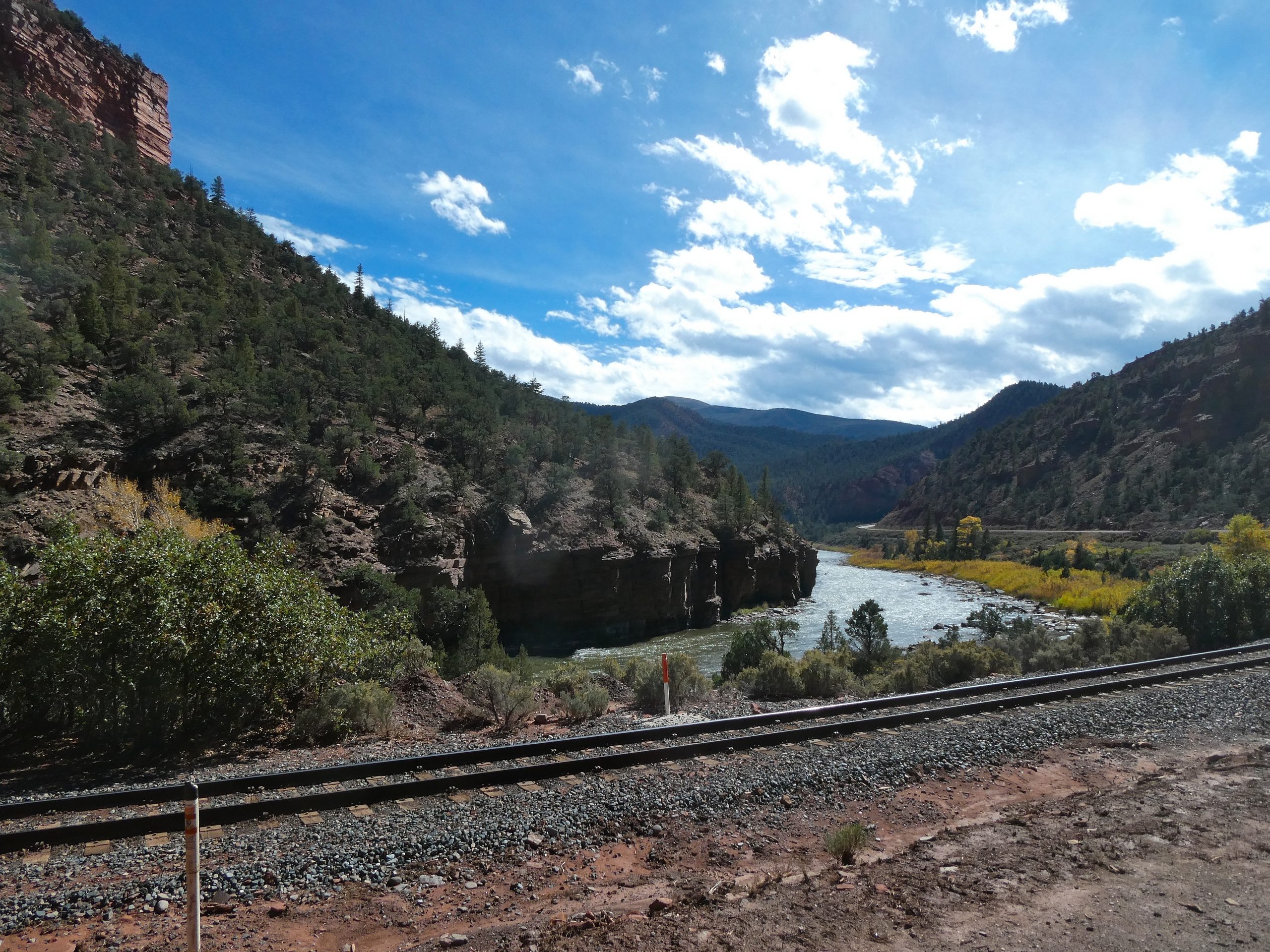
In the morning we did another short bike ride along the Colorado River and scouted out a future bike ride on Coffee Pot road.
Overall it was a good trip. The things that we did were really good. It was unfortunate that we weren’t able to do the Little Grand Canyon and Mexican Mountain hikes that we’d planned for this trip, but I’m sure we’ll be back to the area. The other problem for me was the fly bites. I ended up with lots of bites and being really itchy.