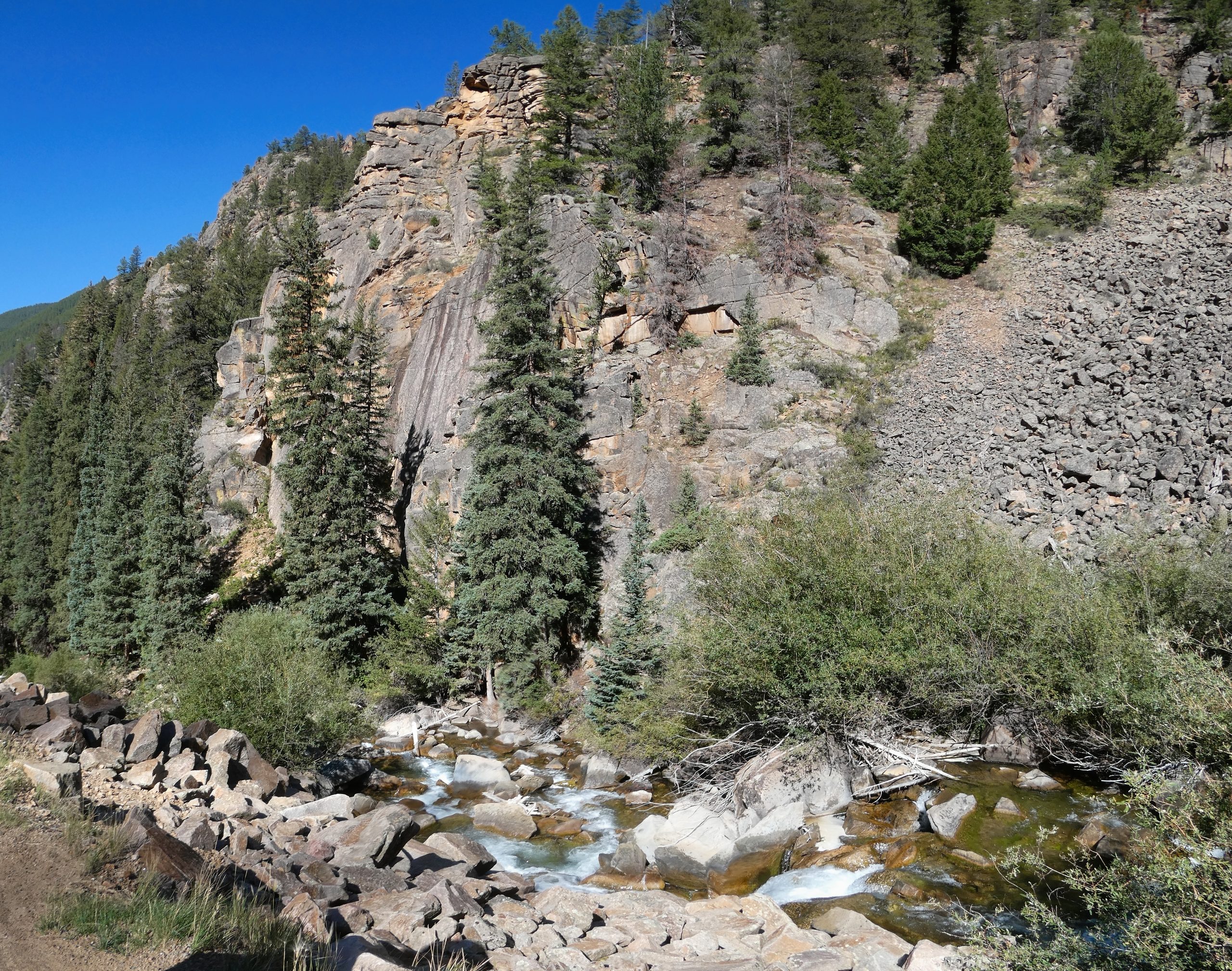
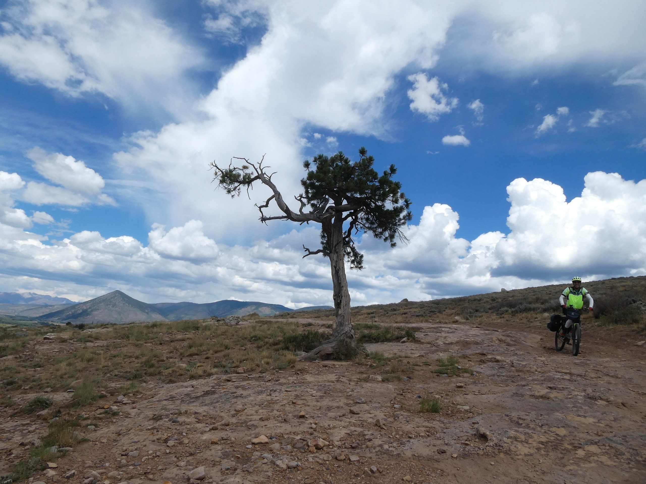
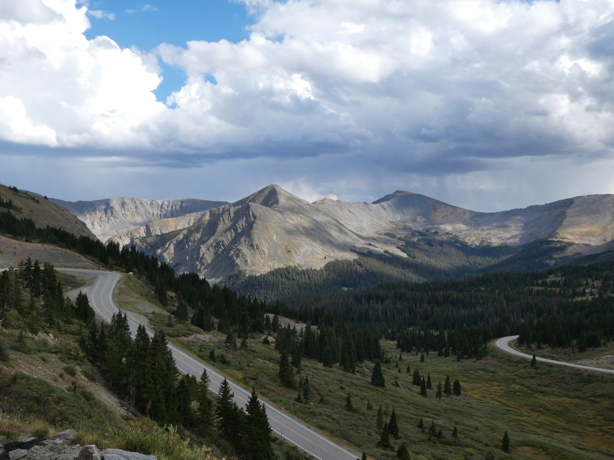
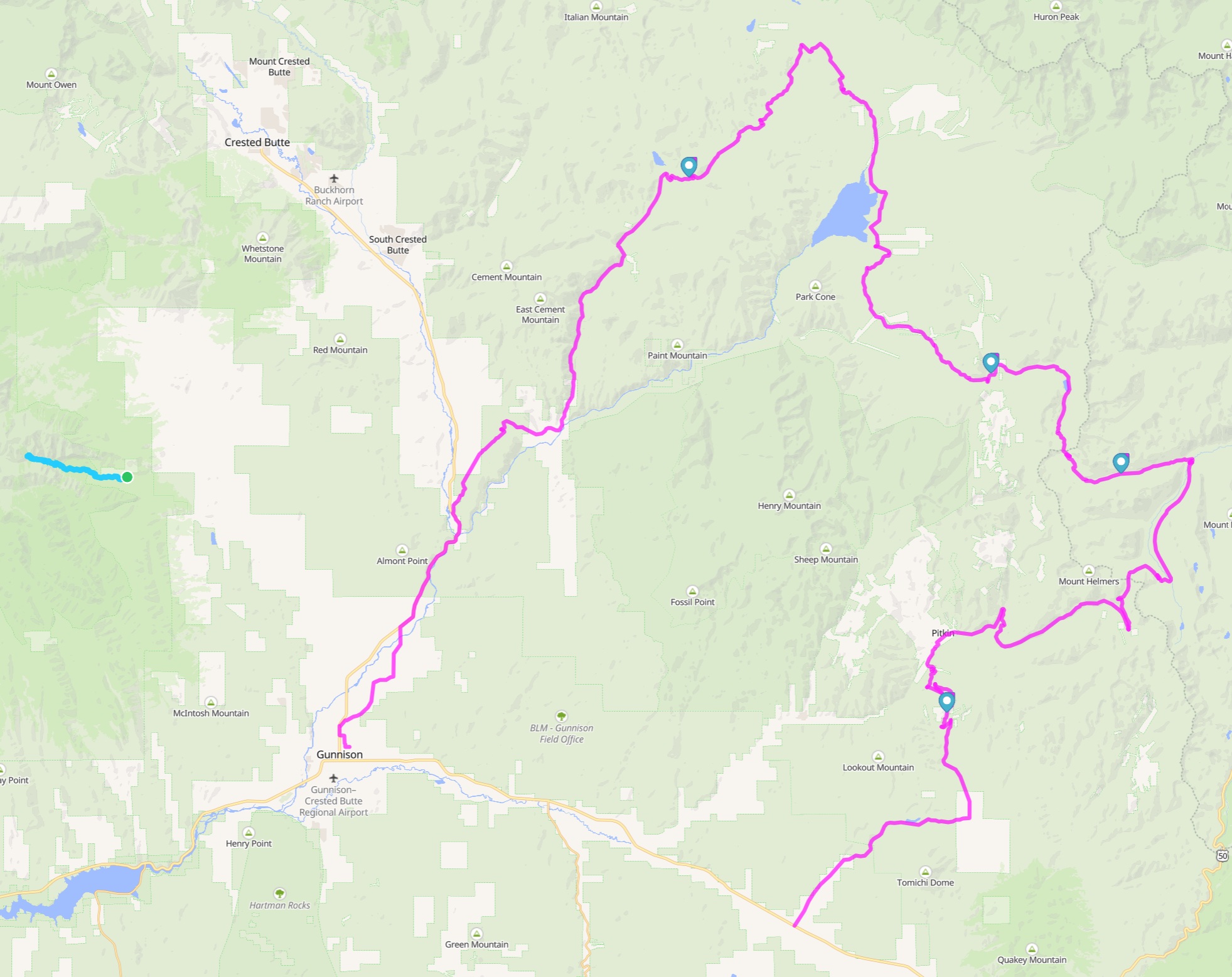
We did part of the Sage & Saddle bikepacking tour in late August. We just wanted to do the north part of the trip where the scenery is mountains, so we planned to start where the trail meets highway 50 and end in Gunnison. Here are the photos from the trip, and here is a map of the ride that we ended up doing.
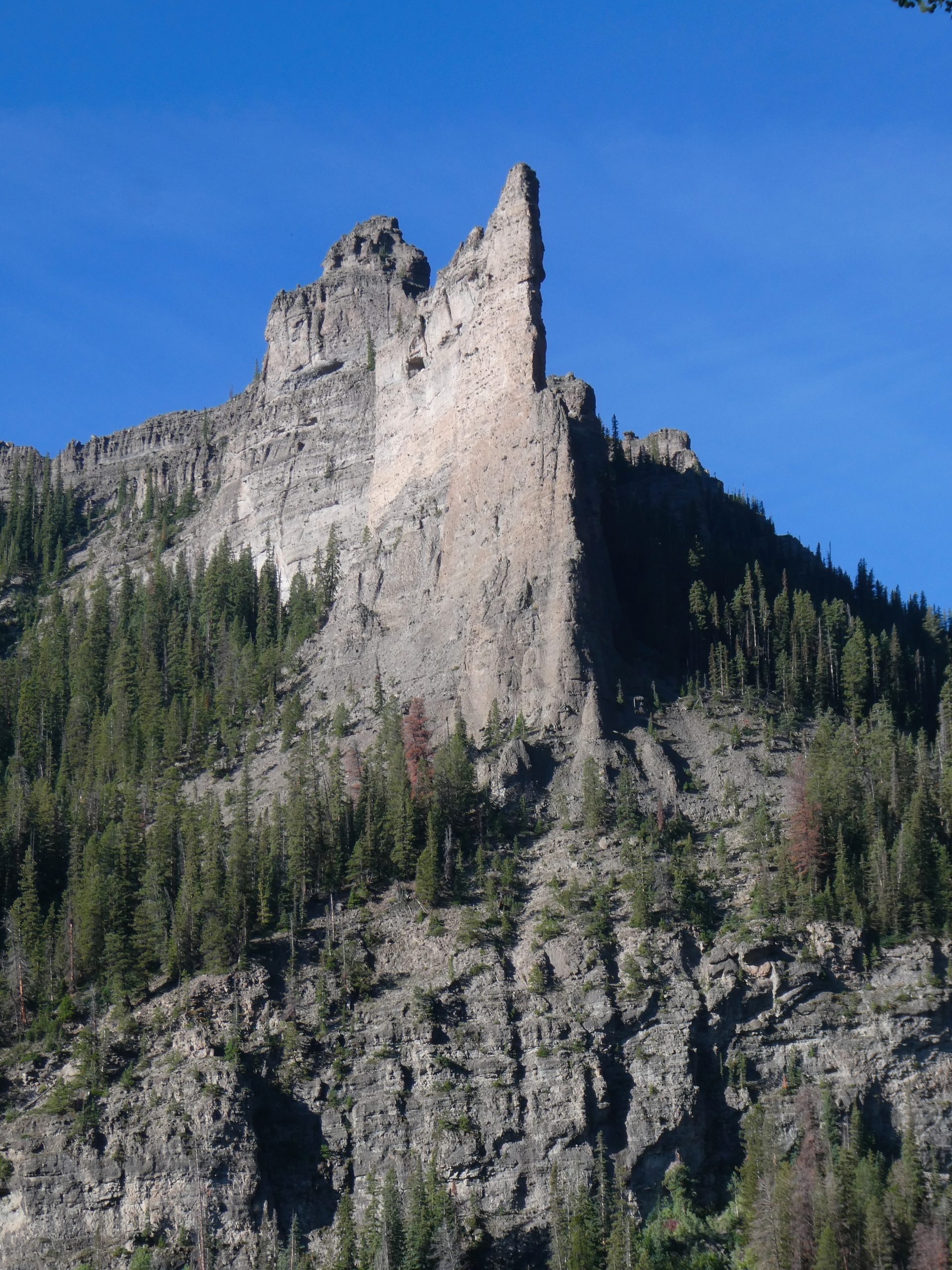
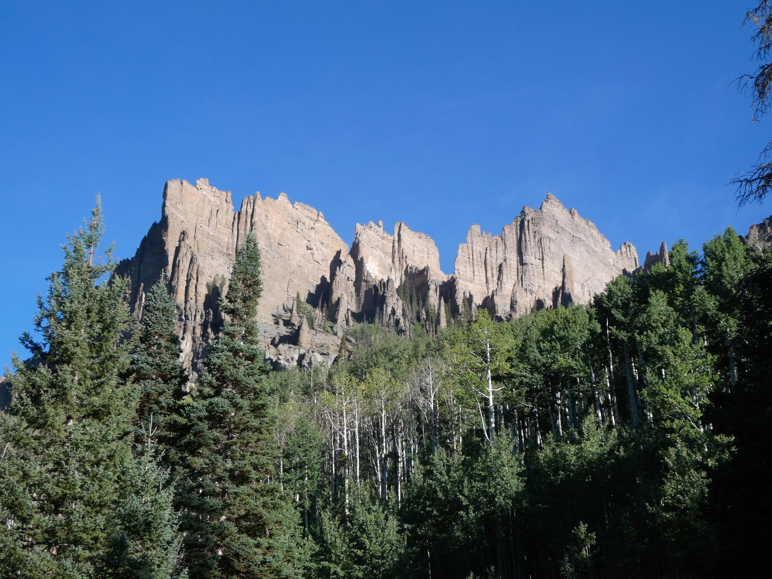
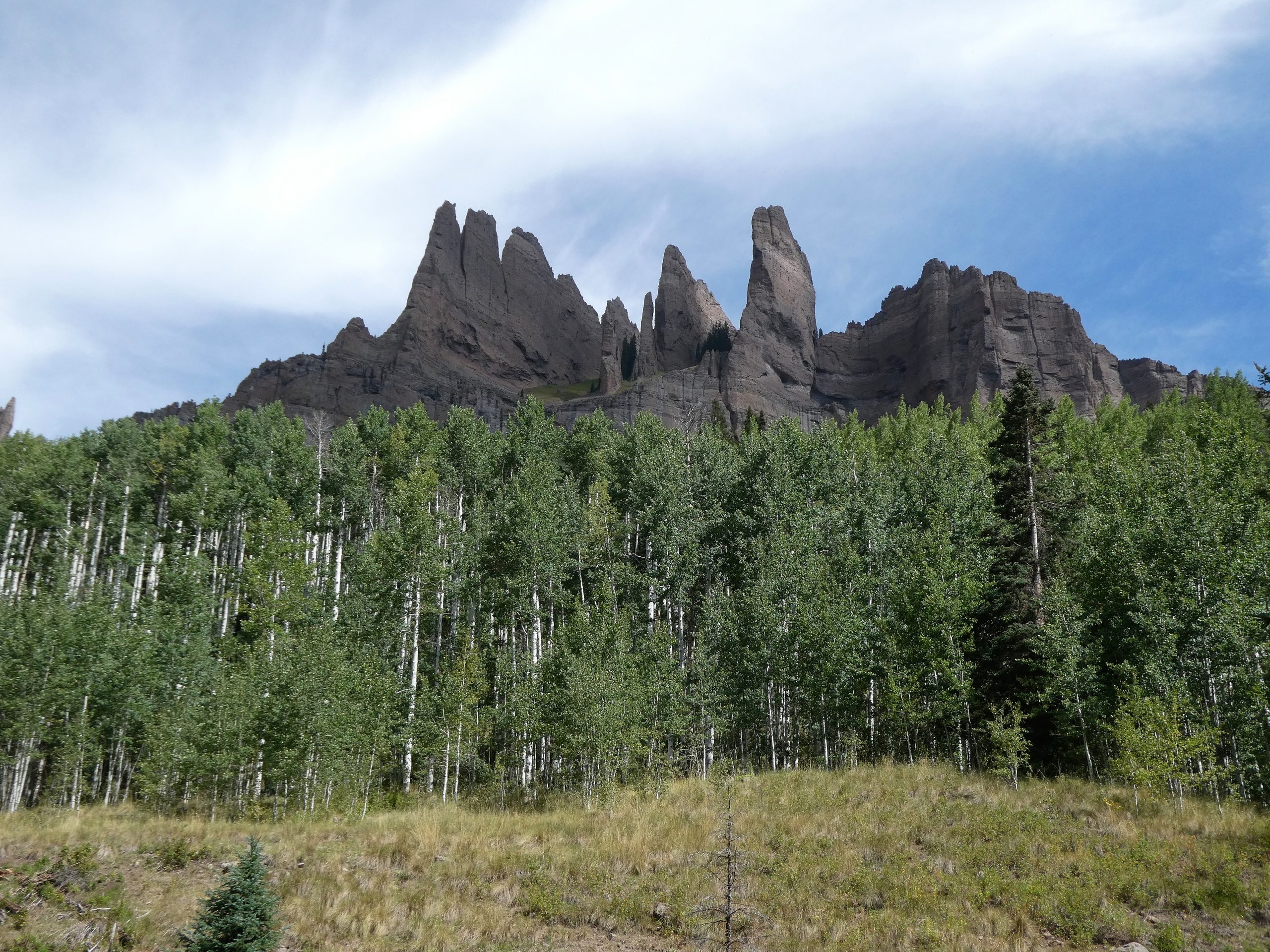
We arrived in Gunnison in the evening and car camped near the Mill Castle trailhead. We woke up early and did the hike. The first part of the hike is really good – fairly flat with good views of the “castles”. About 2/3 of the way through, the trail got steeper and the castles were no longer visible. We continued past the end of the Alltrails hike for another mile to see if things improved, but we should have just stopped at the 2/3 point. We would have seen all the good scenery and skipped a bunch of elevation. It’s a really pretty area though, and we only saw two other people.
We got back to the trailhead around 1pm and were ready to start the bike tour. In order to start and end at different spots, I dropped Kira and the bikes off at the start point and drove back to the end in Gunnison. I’d scheduled an Uber to take me back out to Kira and the bikes. But the Uber didn’t arrive and trying to request a ride didn’t work either. I started walking down to HWY 50 while I waited for Uber to find a driver. After several tries it was clear that I wasn’t going to get a ride. When I reached the highway, I saw signs for the visitor center. They were helpful and told me that Uber doesn’t work in Gunnison and that I could try calling a car service. That did end up working, and I got a ride out to Kira. By the time I’d walked a couple miles and waited for the driver, I was about an hour late getting to Kira and starting the ride. We were still able to get to our planned campsite for the first night, but it wasn’t a great start to the ride. I’m surprised and disappointed that Uber will schedule a ride with no warnings in an area that probably only has a couple drivers.
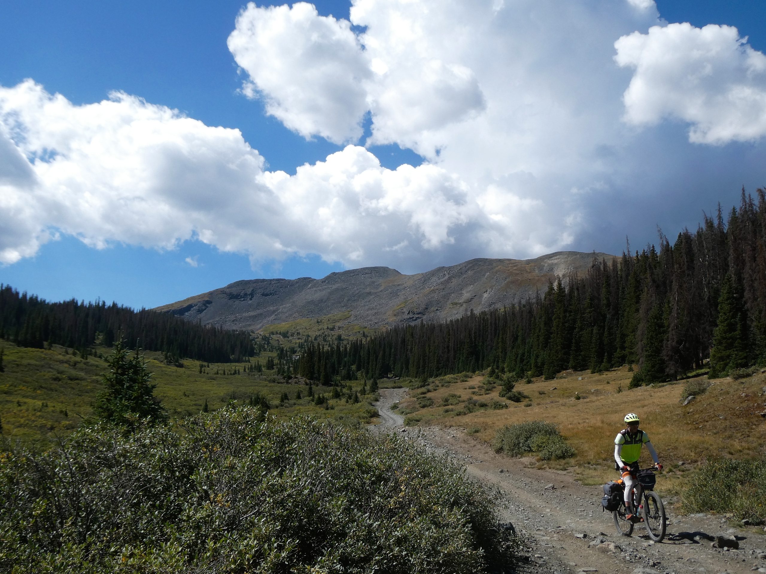
The second day started with a brief climb and then a descent into Pitkin. After leaving Pitkin we had another 15 mile climb up to Williams Pass. This section was an old rail line so the grade wasn’t super steep. The scenery was nice. Mostly looking out over a river valley to the other side’s mountains. Some of the terrain that they built these railroad tracks on was very unforgiving. The tracks were the first to cross the continental divide and were considered an engineering marvel at the time. It crossed the divide at 11500 ft and didn’t stay open long due to weather and maintenance costs.
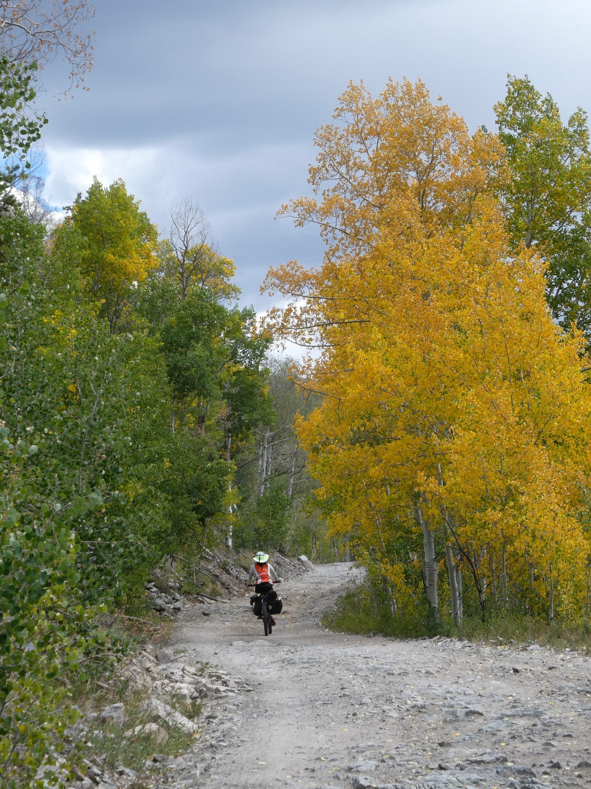
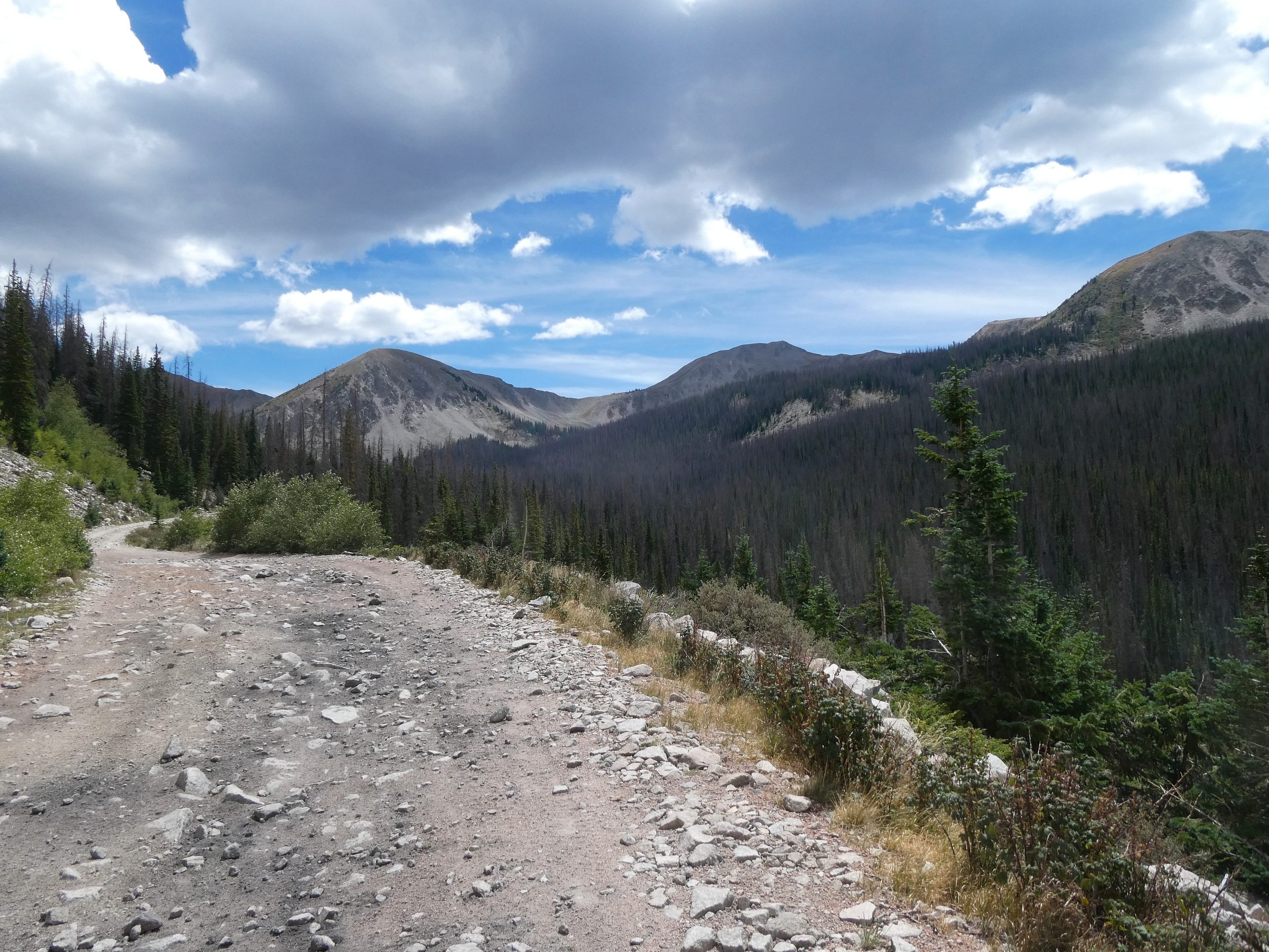
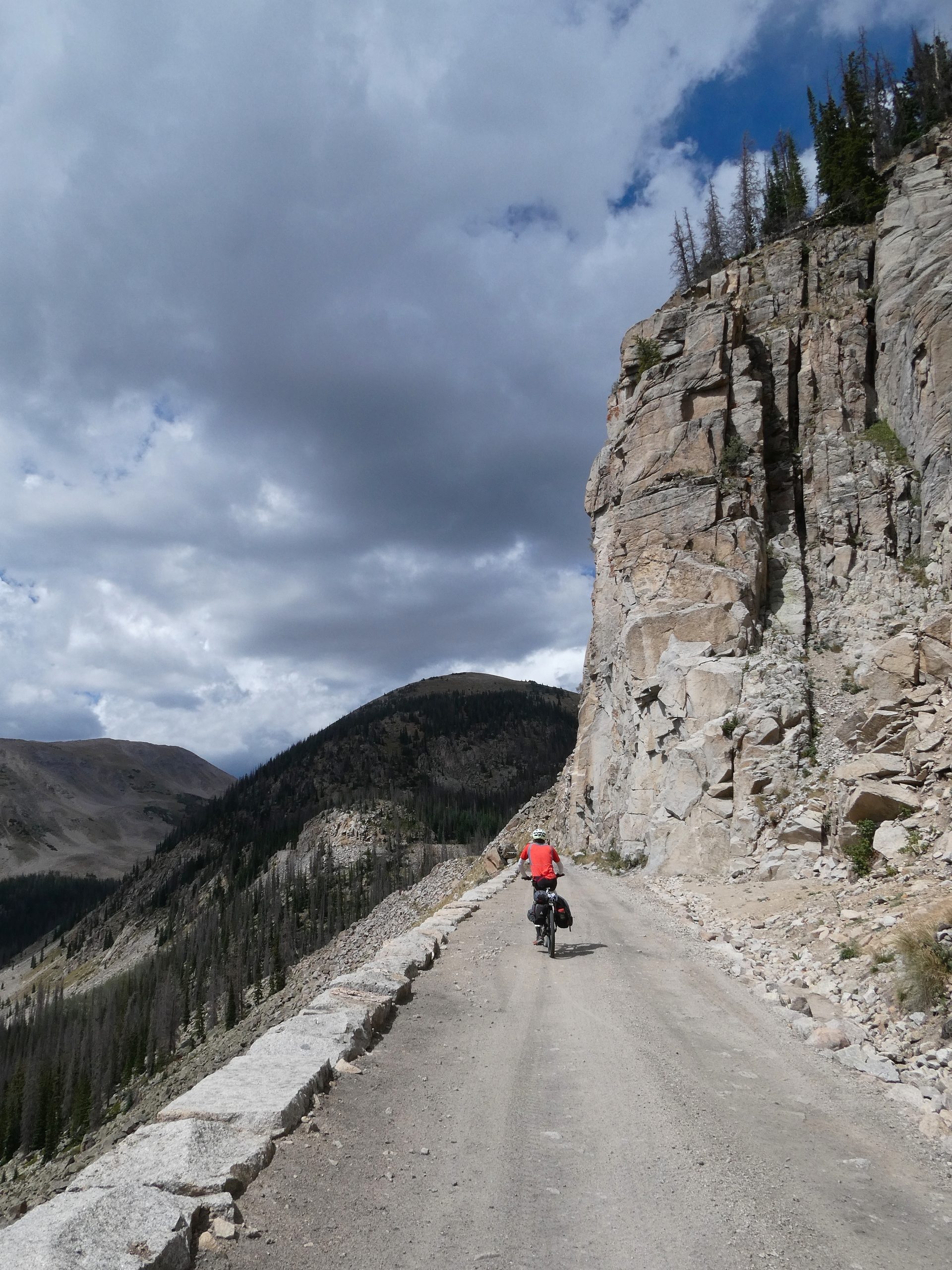
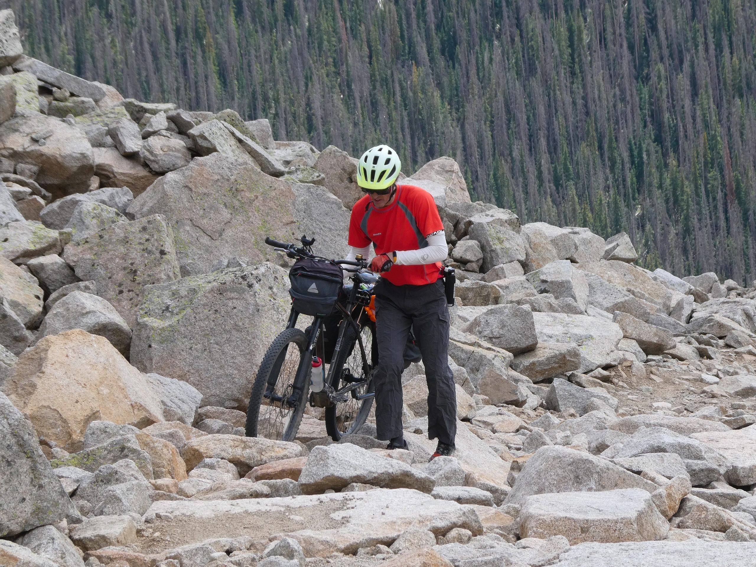
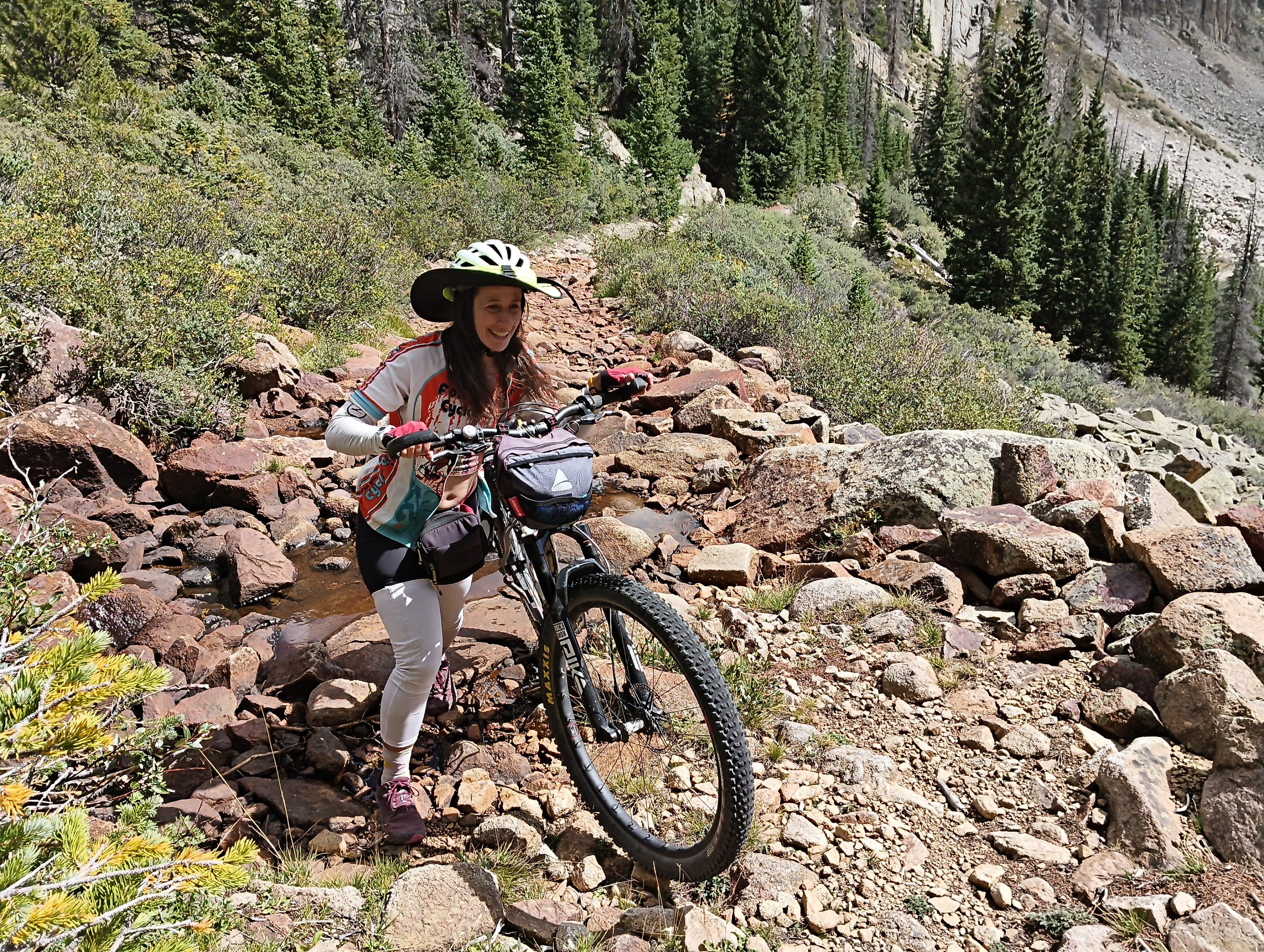
Unfortunately, the road was very rough and bumpy. Kira wasn’t bothered by it, but I got really tired of getting bounced around. I also had some stomach upset that I think was mostly due to all the bouncing. We left the alpine tunnel road to cross Williams pass and the trail went from rough to unrideable. There was probably a mile or so of hike-a-bike mixed with rough but ridable sections. It was mostly not too steep, but just really rocky. After making it over the pass we had a very bouncy and fast descent to Iron City. From there we headed up Tincup Pass. I’d been hoping that the rough riding was behind us, but not only was Tincup pass rough, it was much steeper with occasional spots where we had to walk the bikes due to the steepness.
I was also having problems with my rear tire. I’d tried to let out some air to make the ride softer and found that the valve stem had come out and was just being held on by the plastic cap. From then on, the tire slowly lost air and eventually I had to take the cap off, replace the stem and pump up the tire from flat. After that the rear tire would not hold air and had to be pumped up occasionally.
We camped for the night part way up Tincup pass. We were still on schedule, but it had been a rough day.
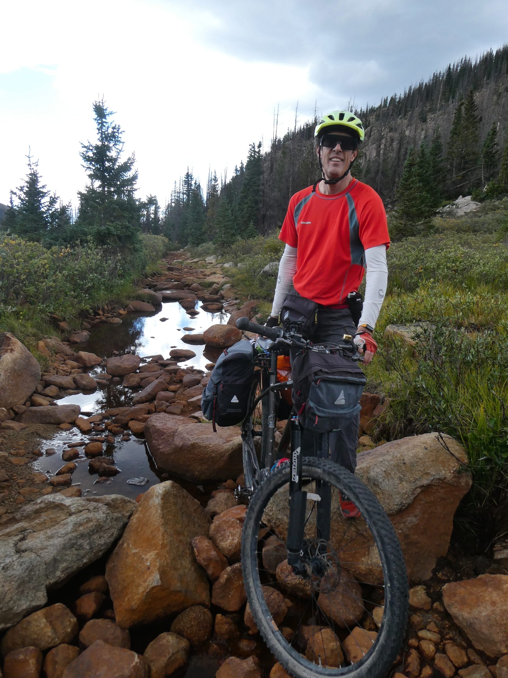
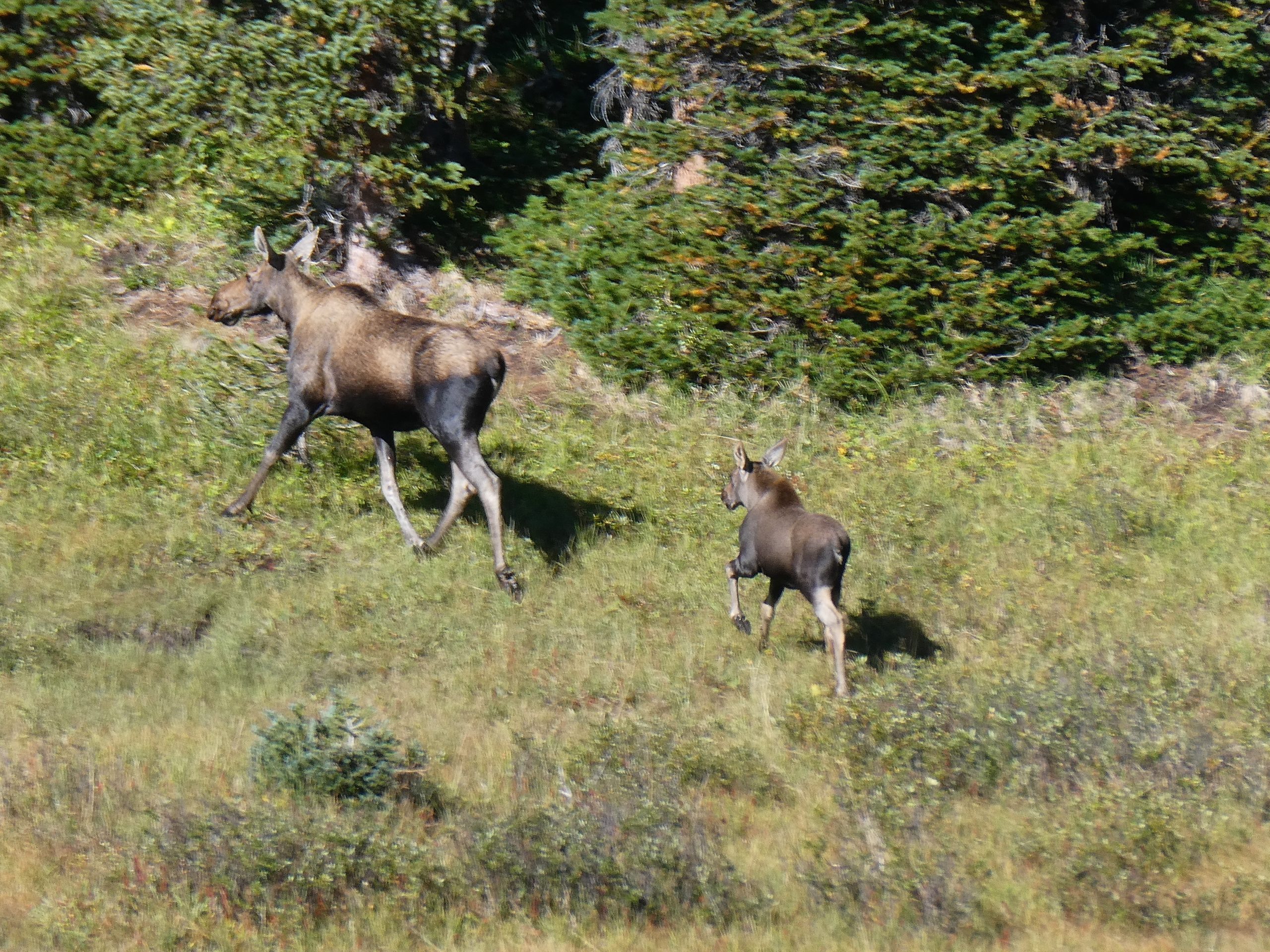
The next morning we continued up Tincup pass. We saw two groups of moose, one a mom and two kids, and then two males. We watched the moose for a while and took a bunch of photos. Tincup pass itself was not as bad – it was still steep and bumpy, but we were able to ride most of the way. The only issue was all the ATV traffic. There were some groups that looked like tours with 10-20 vehicles together. The ATVs definitely take some of the fun out of it, especially when they are playing music or talking so that Kira has to stop and hold her ears. There were groups parked at the pass itself and we had a bit of a difficult time getting Kira through that section. The descent into the town of Tincup was fast and fairly fun. I kept having tire problems though and ended up putting a dent in my rim from hitting a rock while I didn’t have enough air in my tire.
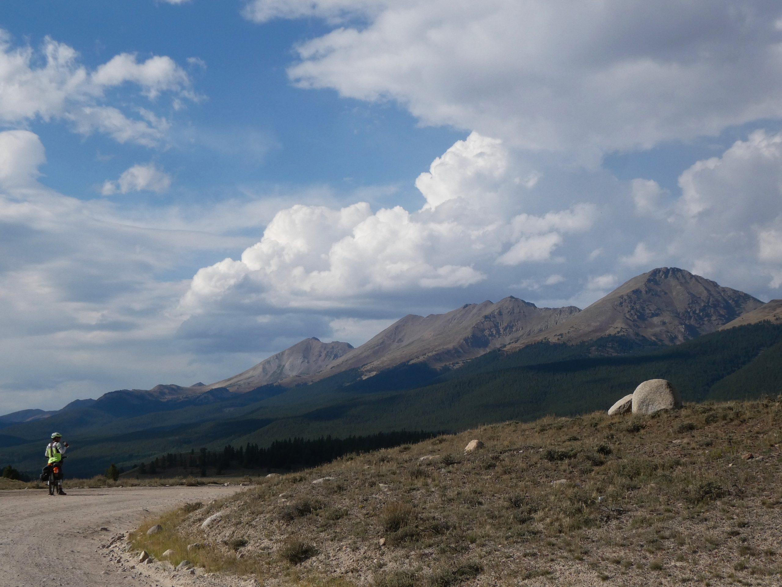
In the town of Tincup, I tried to get help with the tire. A friendly biker had some tools and tightened my valve core. I don’t know if he overtightened it, or if the bumpy ride down loosened the seal, but shortly after leaving town my tire went flat and wouldn’t pump back up. The tubeless seal had been broken. Kira and I have not had to fix a tubeless tire before and we were debating going back down to Tincup when someone stopped to help us. They helped take off the tire and put in a tube. We were stopped for maybe an hour. From there it was mostly downhill on a pretty smooth road to the Taylor park area. Taylor park is a valley and reservoir with a great view of the Sawatch mountain range to the east. We’d been warned that it is very popular with the ATV crowd and very dusty. There was definitely some ATV traffic, but it wasn’t nearly as bad as Tincup and the road was smooth and fairly flat so we were off it pretty quickly. From there we had a nice ride up Rocky Brook road to our campsite near Spring creek reservoir.
Our final day began with a quick descent down Spring Creek Canyon road. It was definitely fun going downhill for a while, but it was a pretty canyon and it would have also been nice to have more time to see it. The end of the canyon brought us to the highway which was busy and didn’t have much of a shoulder. Fortunately we weren’t on it long and took a little side path through the Almont triangle. The route description over-sold this section and after all the mountains, this part was definitely more “sage”, less exciting, andsurprisingly steep. After that disappointing segment, we decided to skip the final section and take the highway back to Gunnison. We got some lunch at a Thai place and drove back home.