Kira and I took a trip in late April to Capitol Reef for some bikepacking. We started with the two day Cathedral Valley Loop from bikepacking.com. Then we did another two day trip by making a loop out of the Tantalus Flats ride. For our last day, we explored the Buckhorn Draw road.
Here is the full gallery and a map of the area with the first two bike rides highlighted:
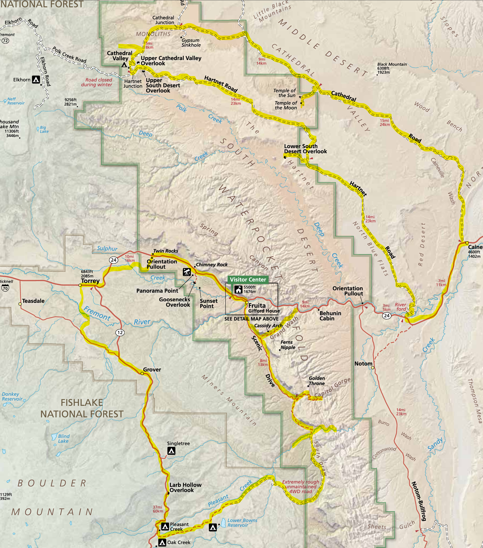
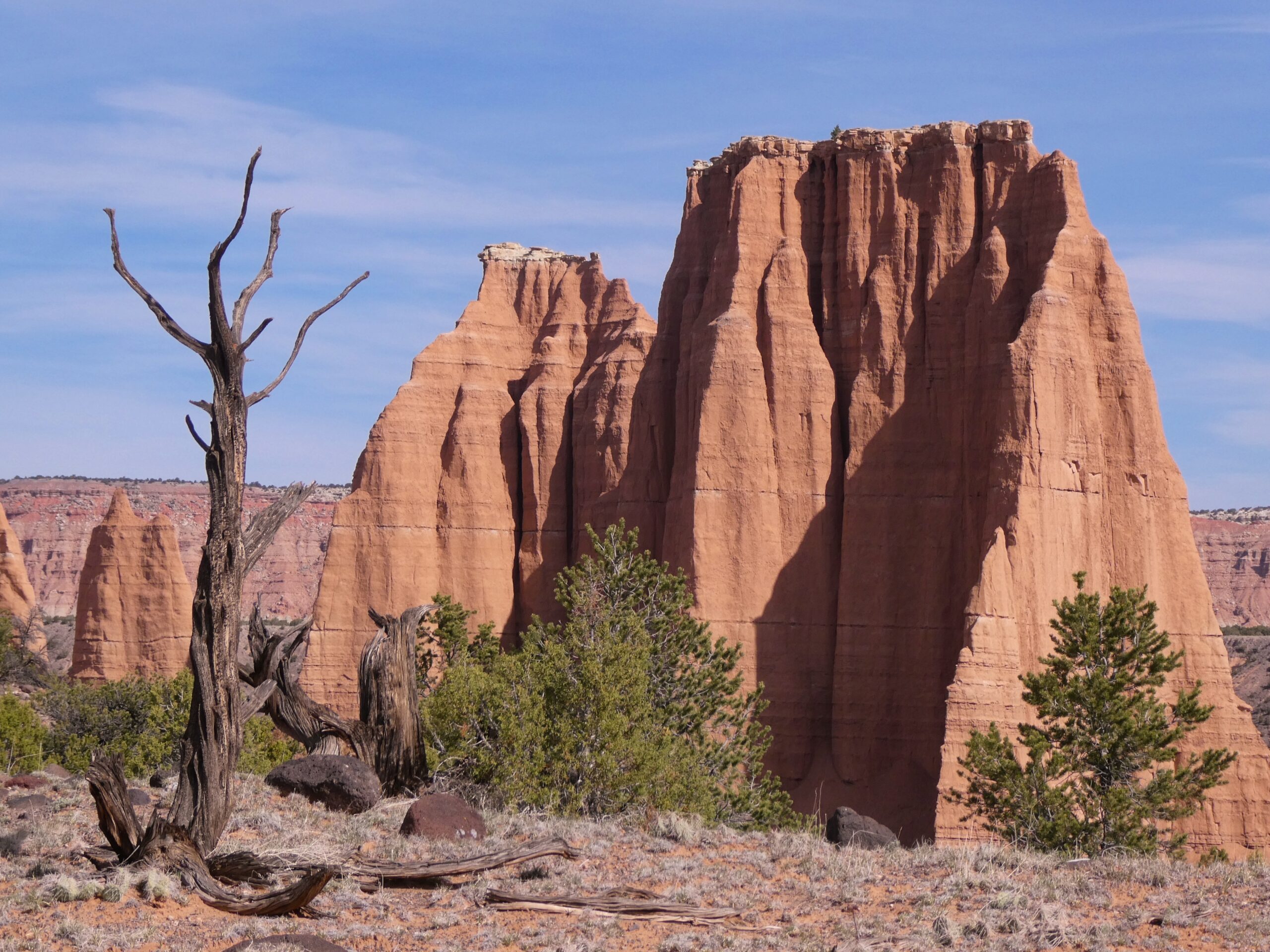
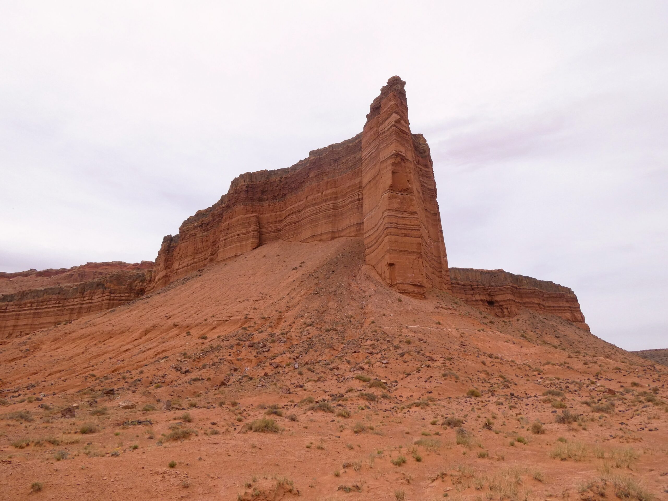
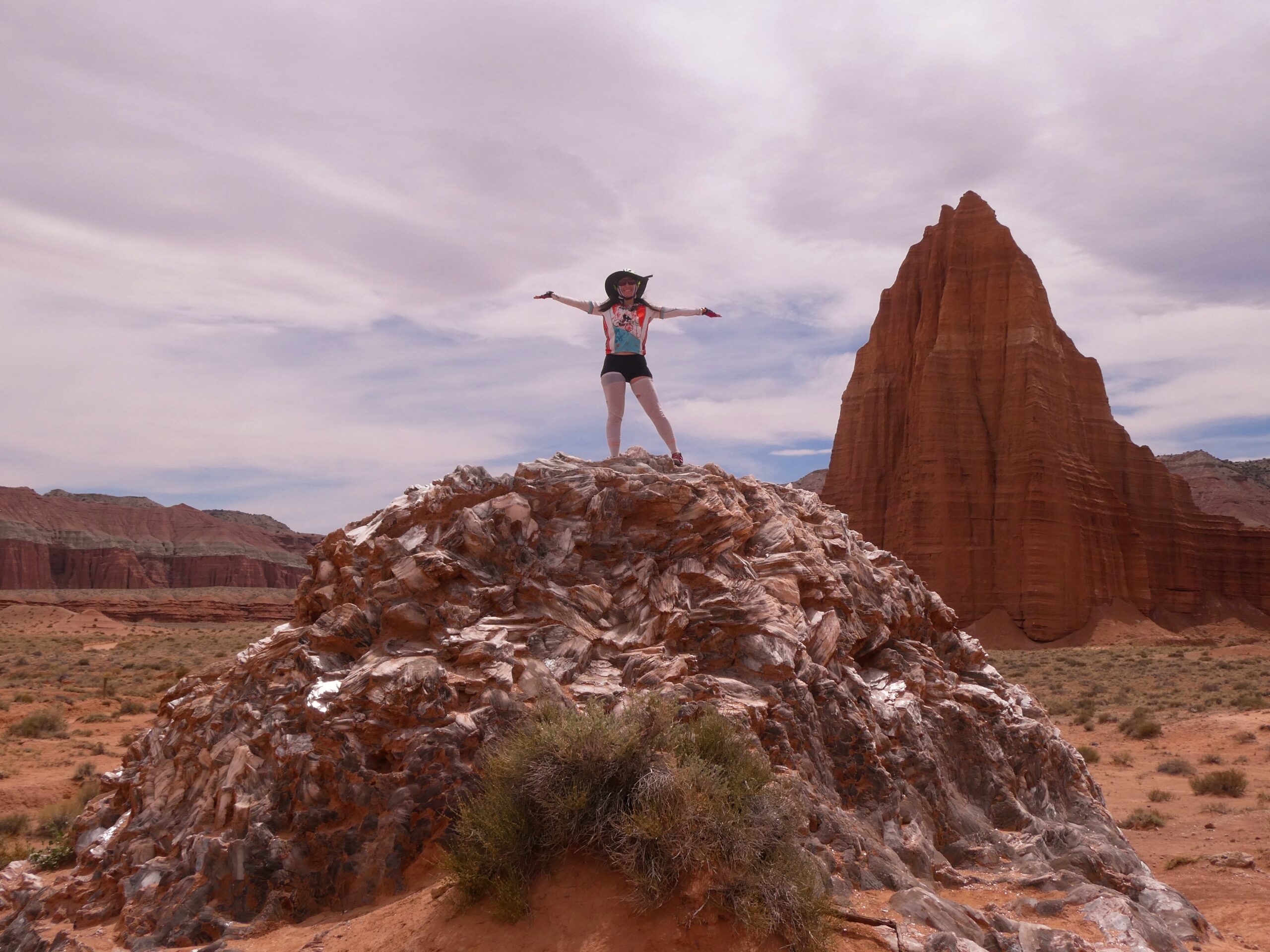
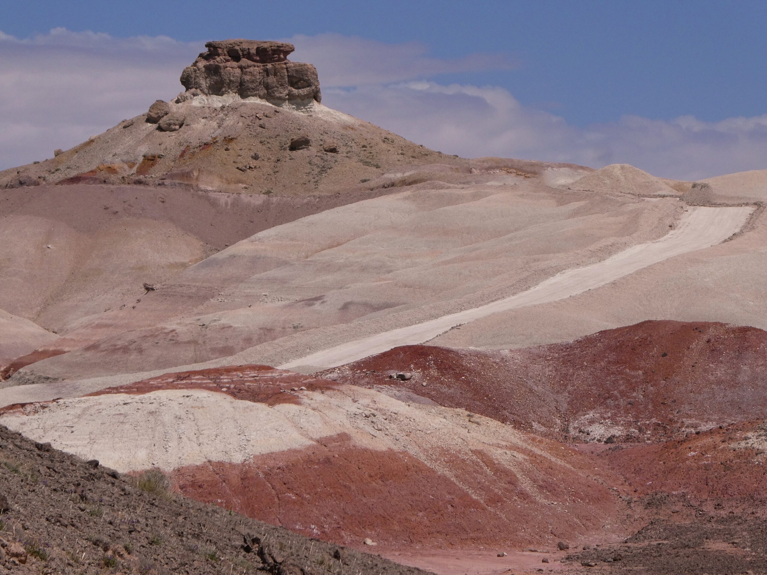
For the first (north on the map) loop, we followed the bikepacking.com track. We started at the edge of Cainsville. There is a parking lot near the highway which is right on the path and seemed good for sleeping overnight and parking for a couple days. Bikepacking.com mentions the Cathedral Valley Inn, but they don’t want non-guests using their parking lot. We did the route clockwise since that started with the uphill on the highway, but either direction would work fine. One disadvantage of clockwise is that there is a big downhill descending into cathedral valley. The scenery is really nice there, so it would be a good time to be going uphill. But going uphill on the pavement is always easier than on dirt/sand, so clockwise is the easier direction. There is no water on the route, so we packed a couple gallons for each of us. The Freemont river was an easy crossing. The water was less than knee height.
We had a good ride with plenty of good scenery and good riding conditions. The road was is good shape and the weather was cool. The only problem was the wind on the second day. We were fighting a pretty strong wind and the gusts were kicking up a bunch of sand and dust. The road was also sandy in patches, but it was almost 100% ridable.
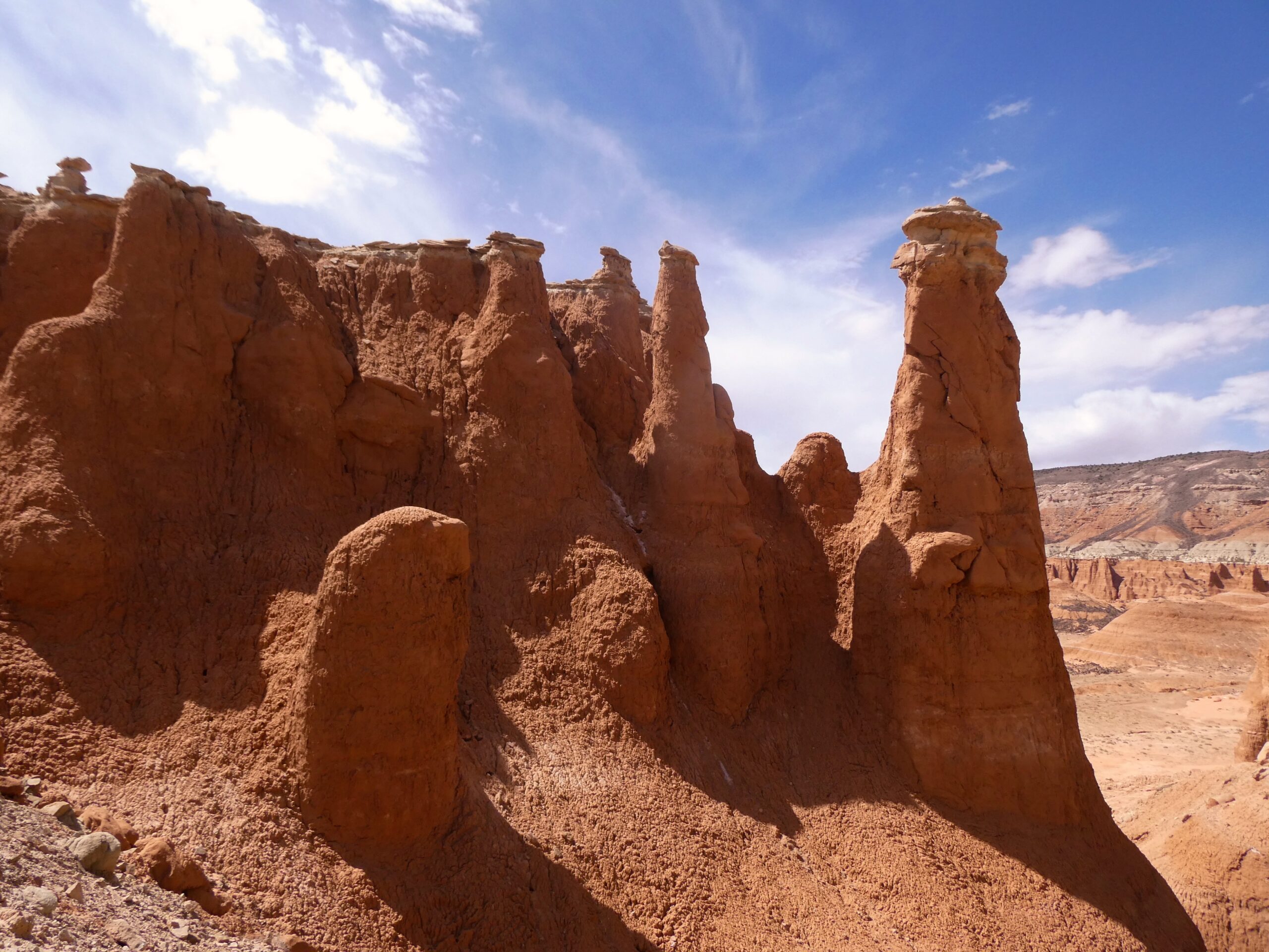
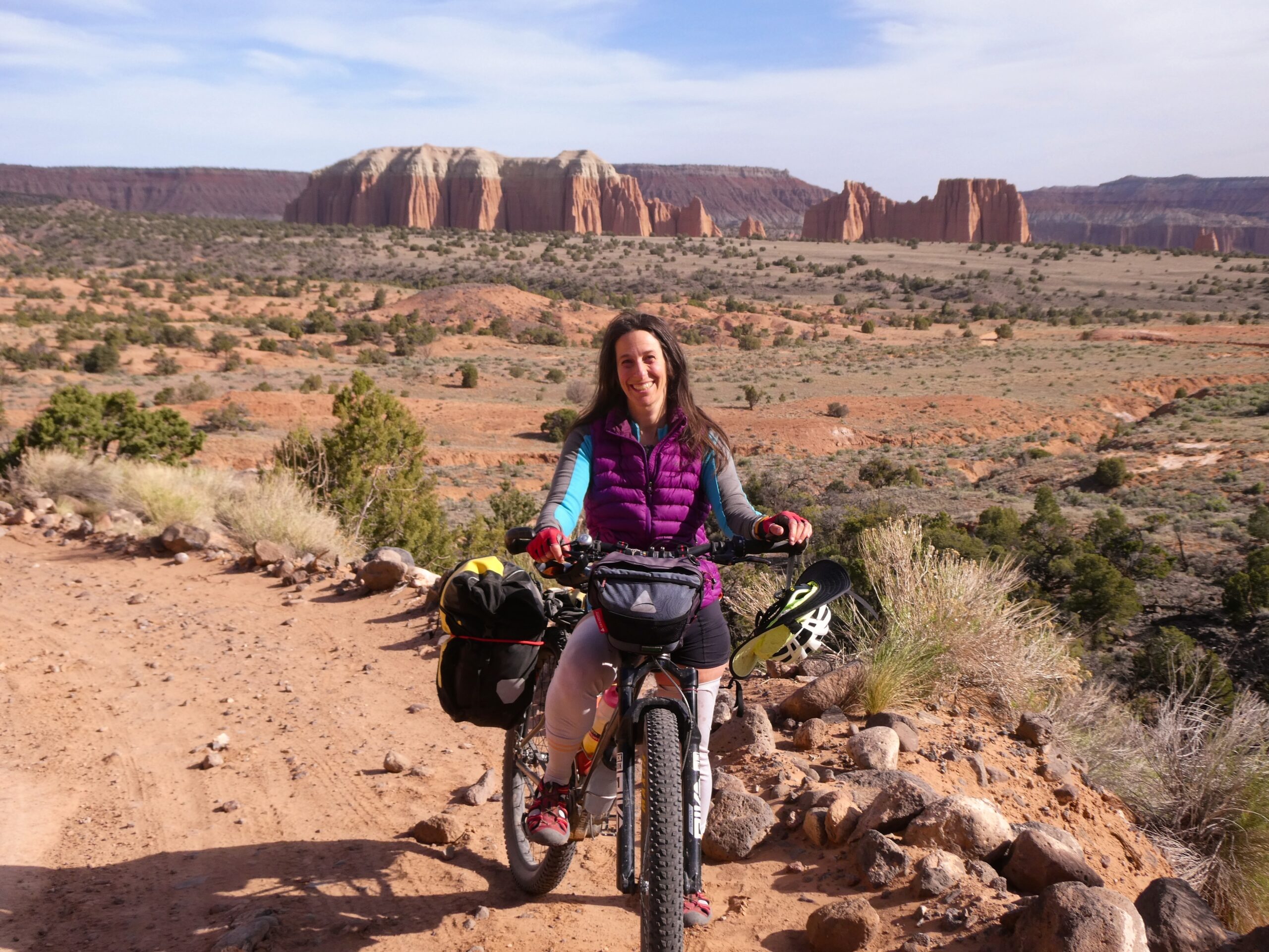
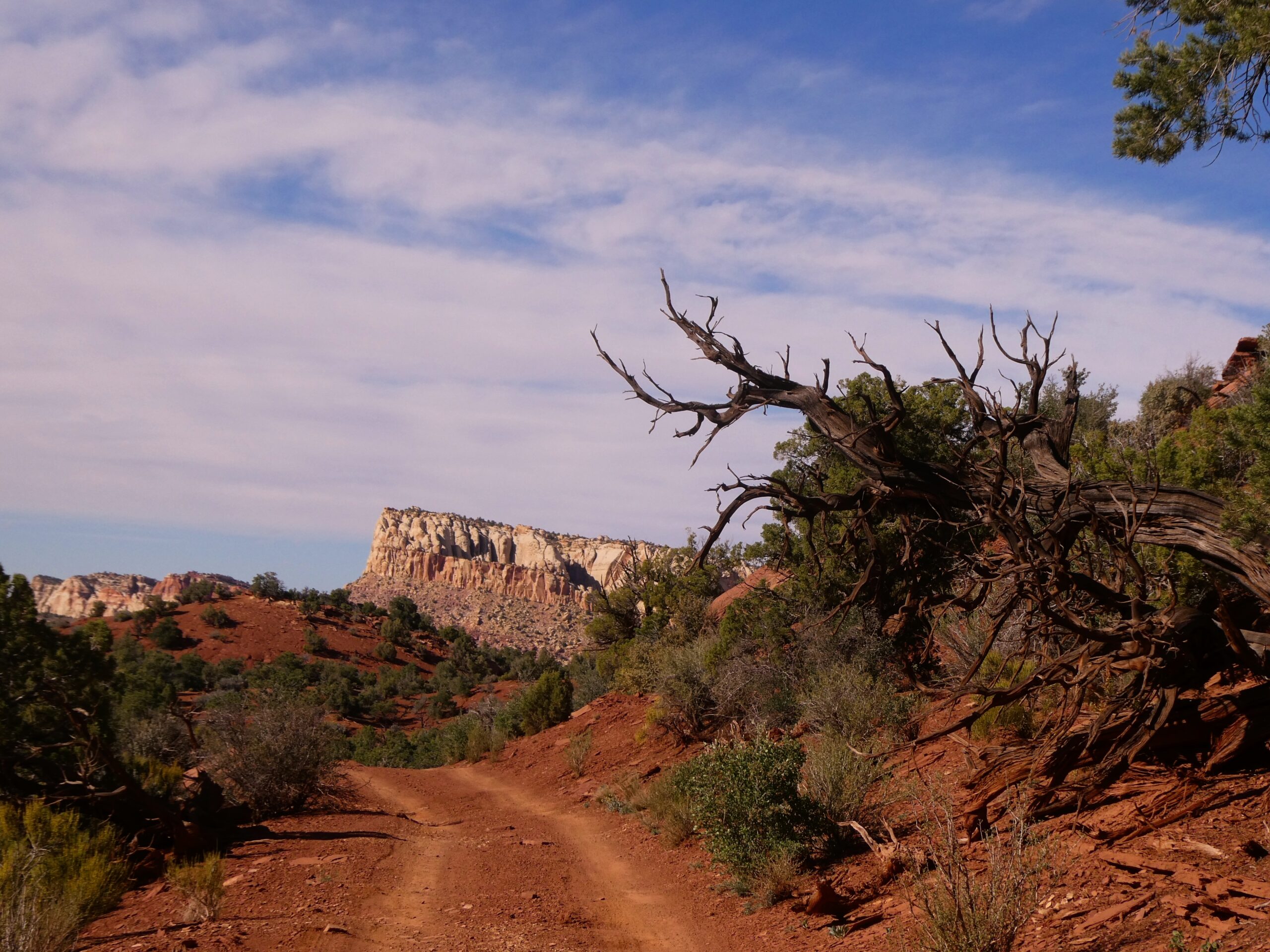
For our second ride we took the Tantalus Flats ride, which mtbproject suggests riding one-way with a shuttle, and made it into a big loop. Doing it as a one-way would definitely be fun: pretty scenery and all downhill. Though I’d recommend continuing on to the visitor center. There is a little uphill, but lots of nice red-rock scenery on the way.
This was also a fun ride, especially the first part on Tantalus flats. It was a rough road and mtbproject lists it as a blue for some technical parts. But riding it downhill made most of it very doable. The part after leaving the park on roads was less fun, but there was still some good scenery.
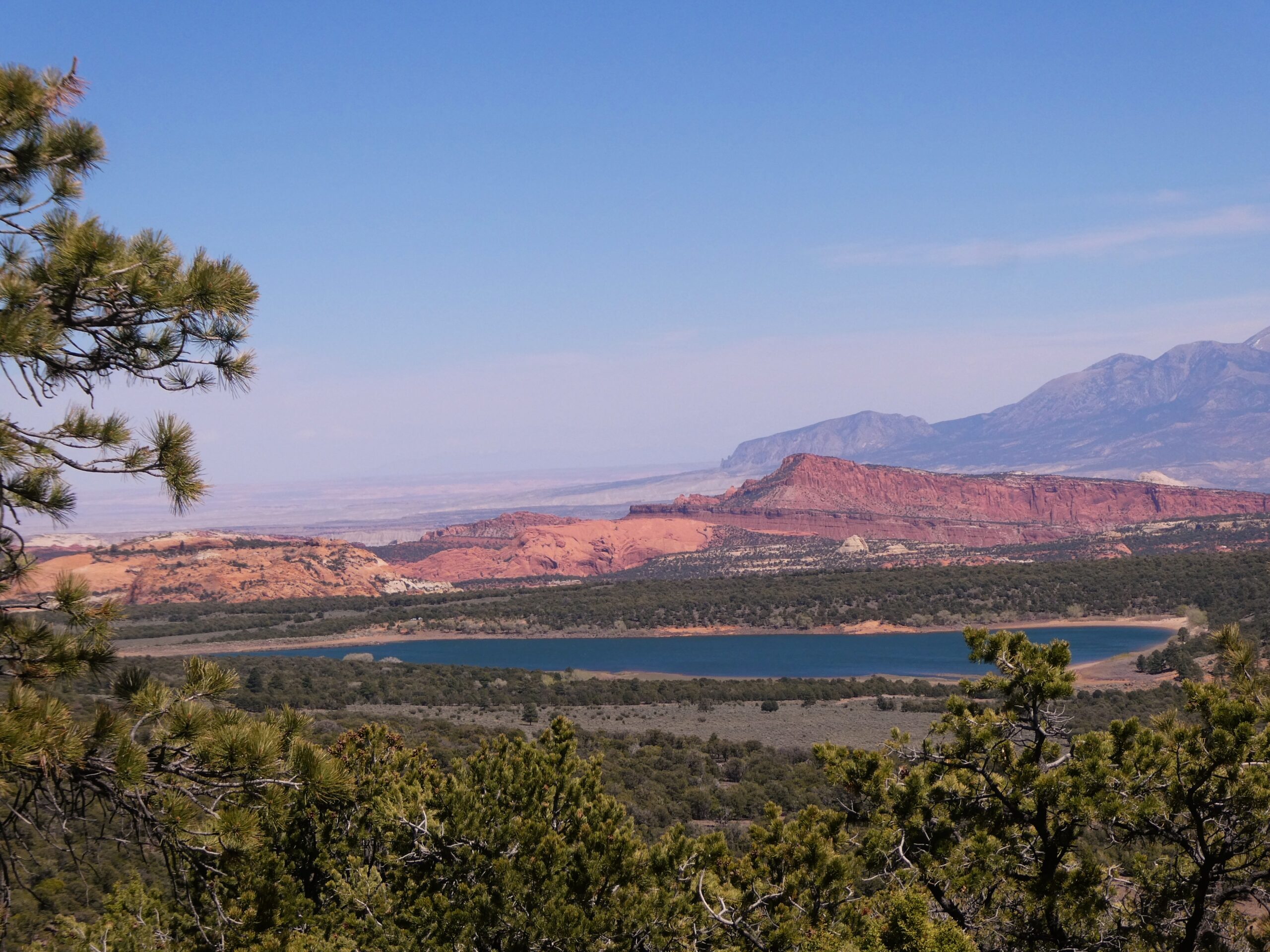
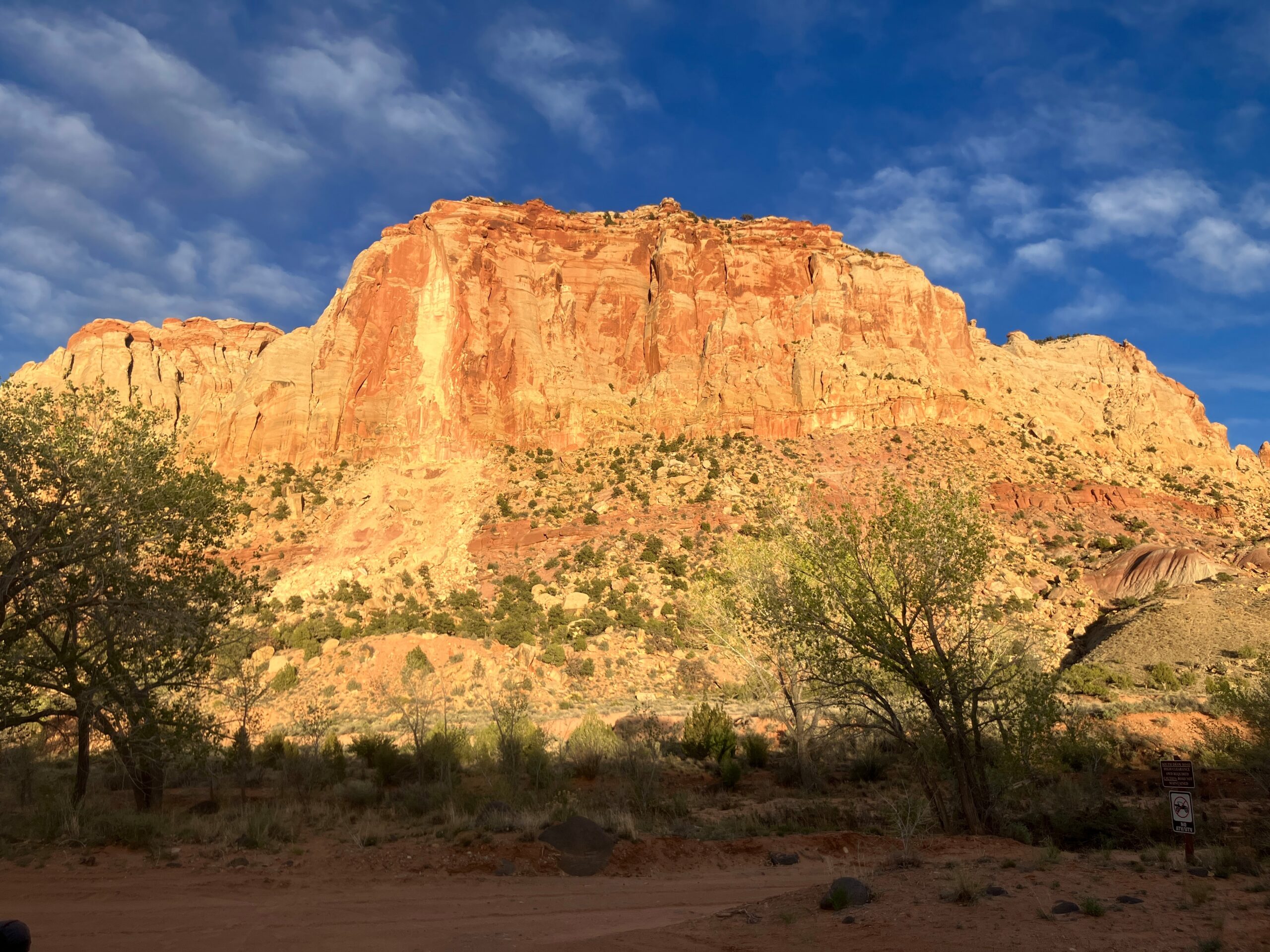
On the last day we checked out Buckhorn draw road and some of the “little grand canyon” area. We drove up the road several miles and then switched to bikes when it started to get pretty. We rode up past the river and then back out to Pinnacle peak. The area is not too popular and has several trails that we could hike. Maybe we’ll make another trip to finish exploring the area someday.